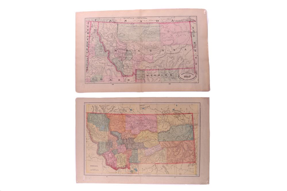
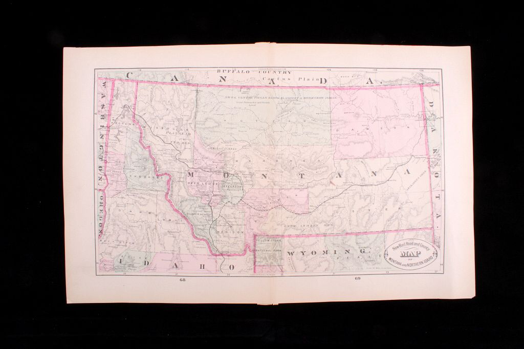
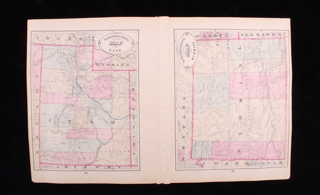
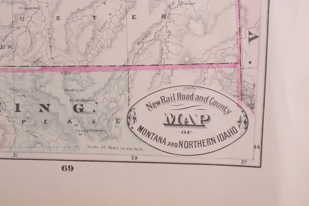
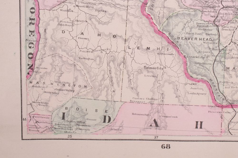
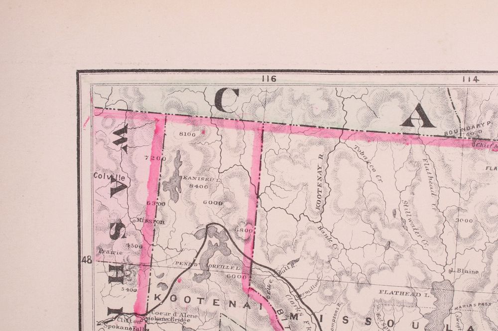
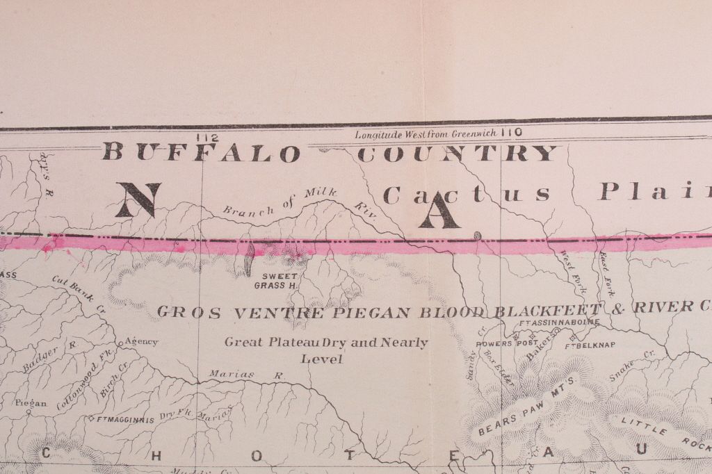
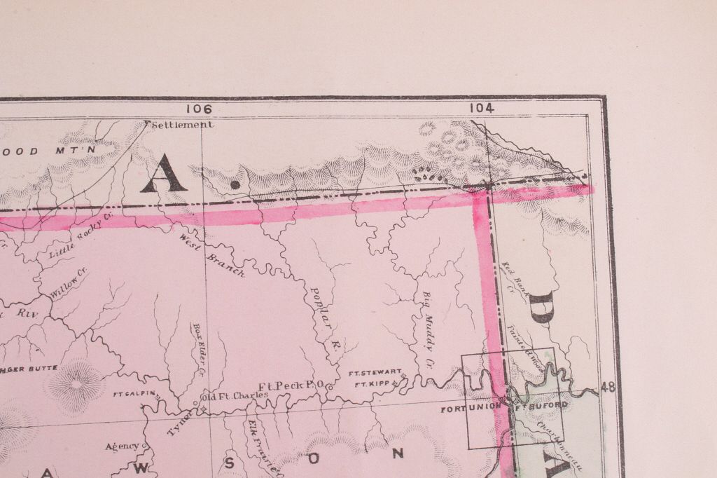
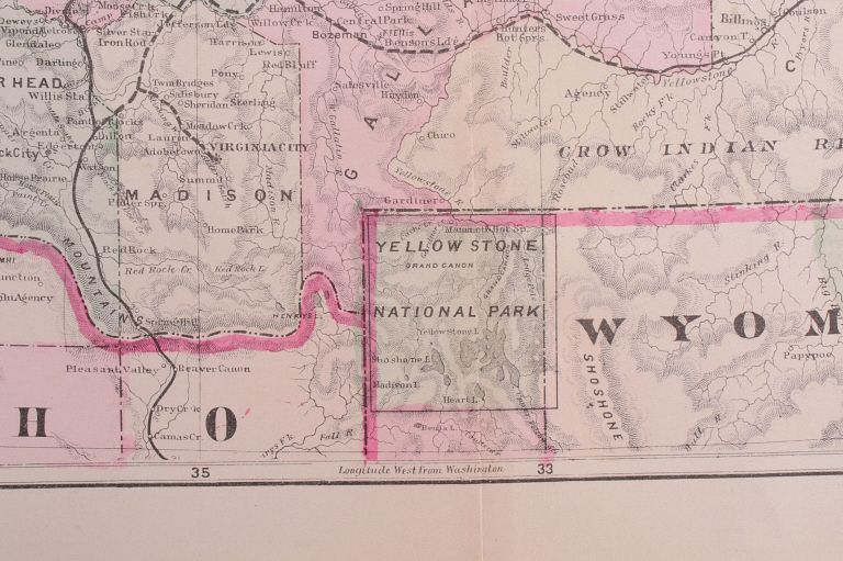
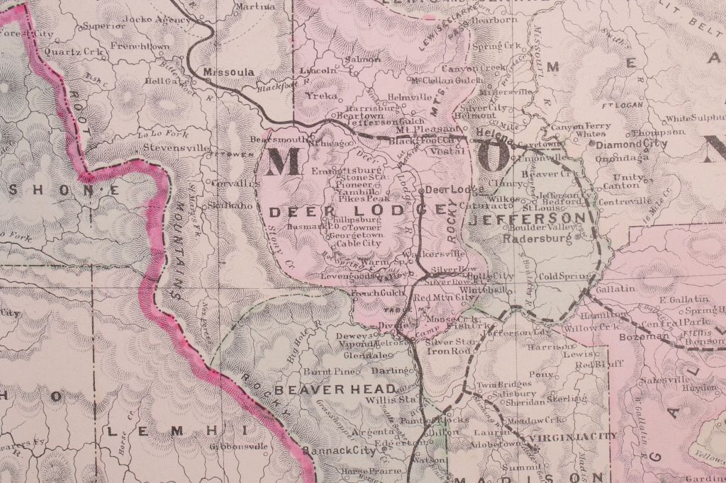
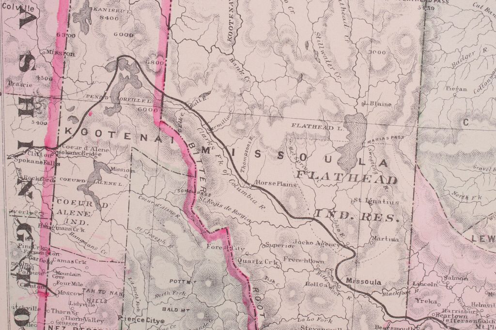
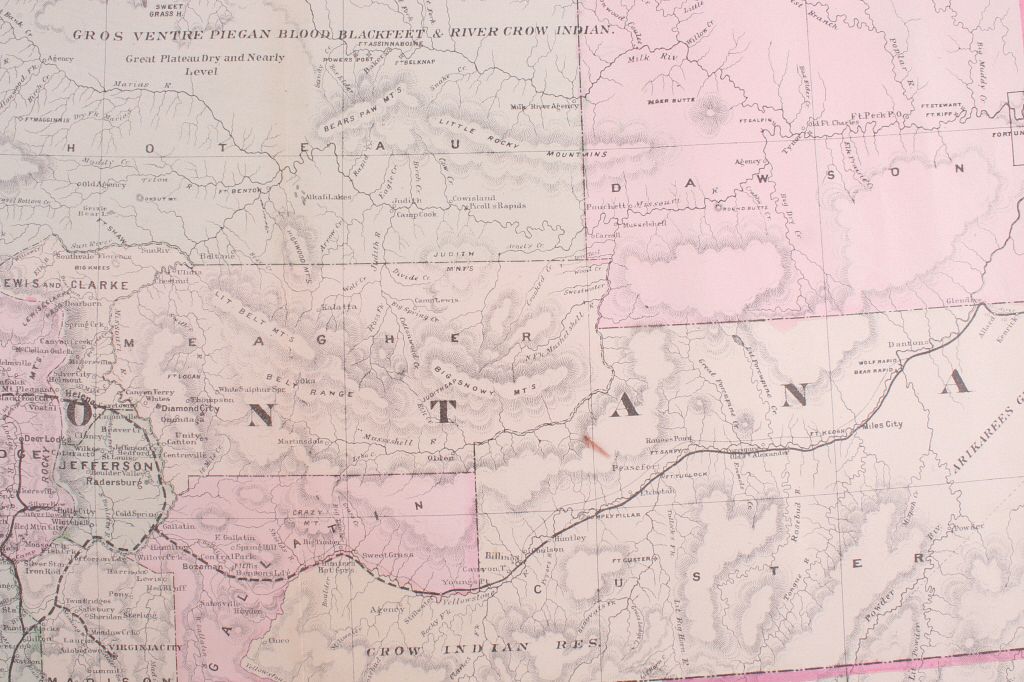
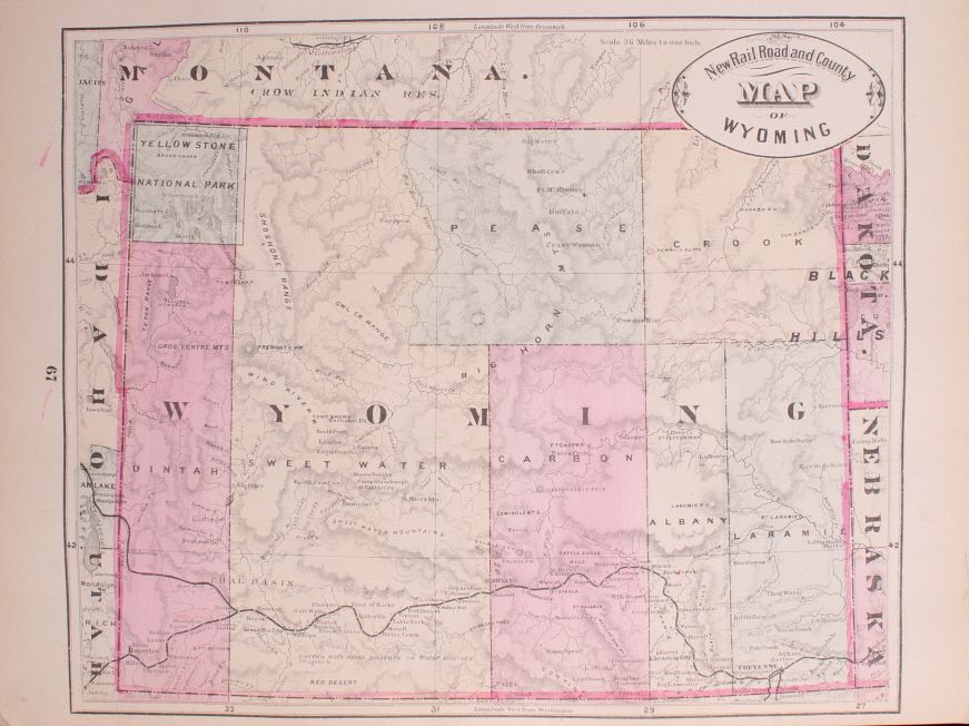
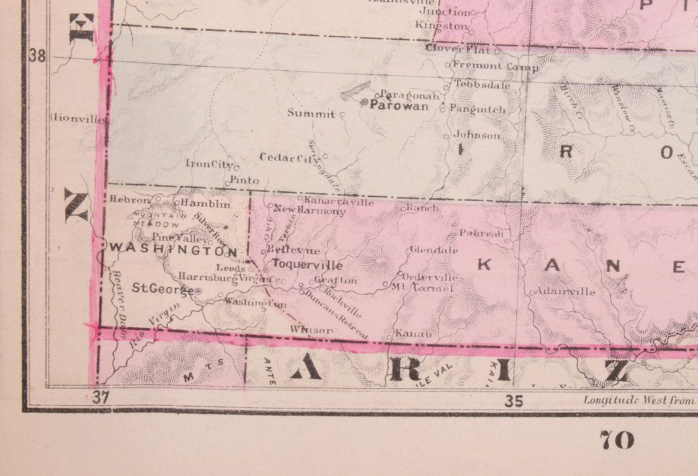
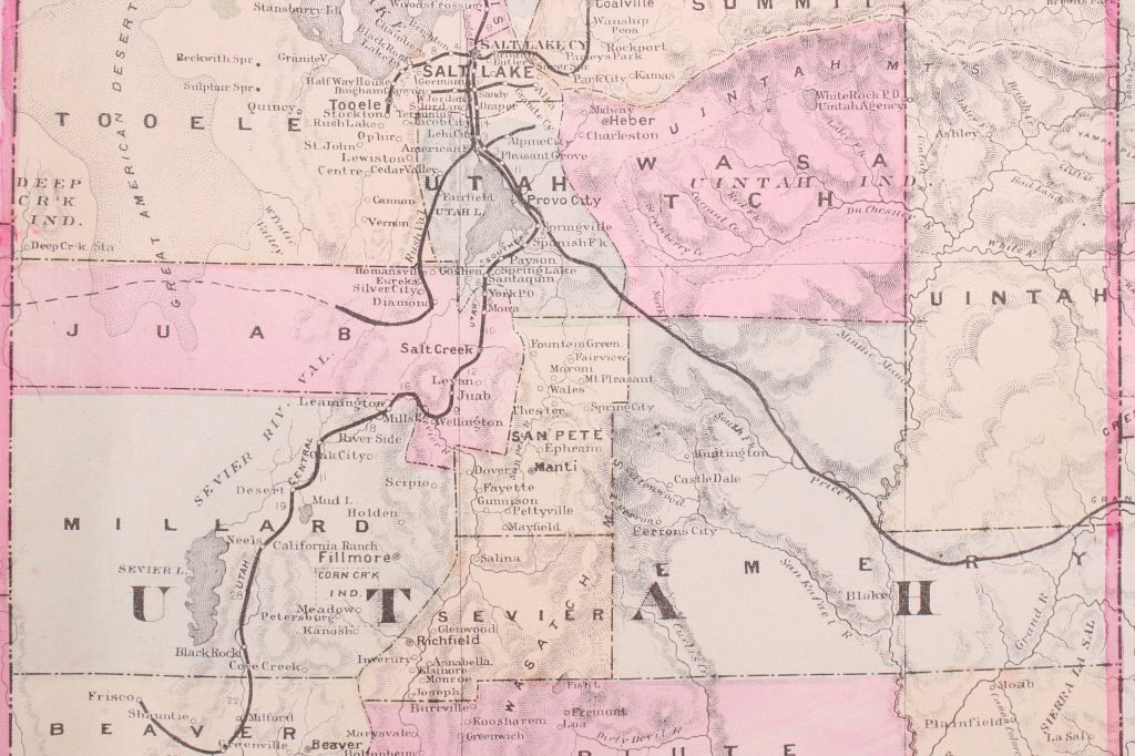
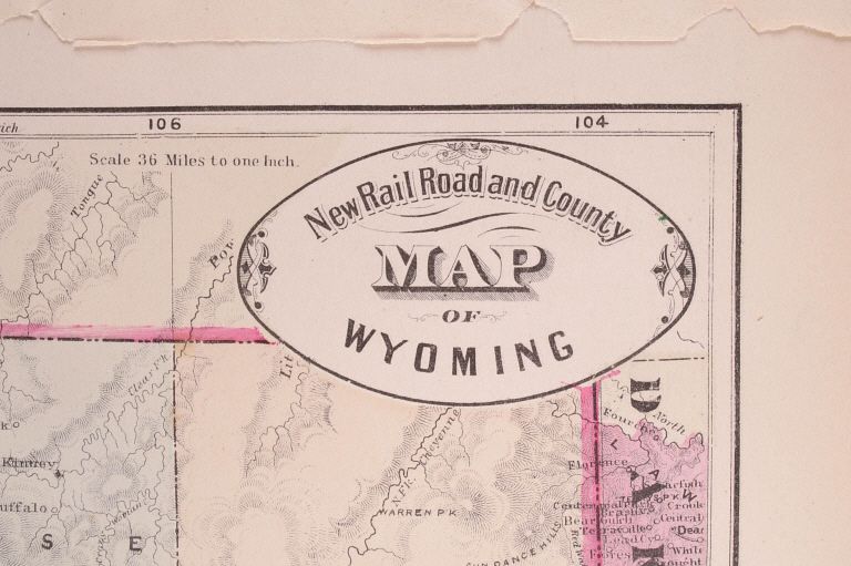
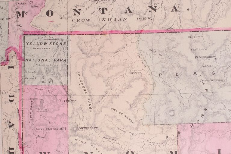
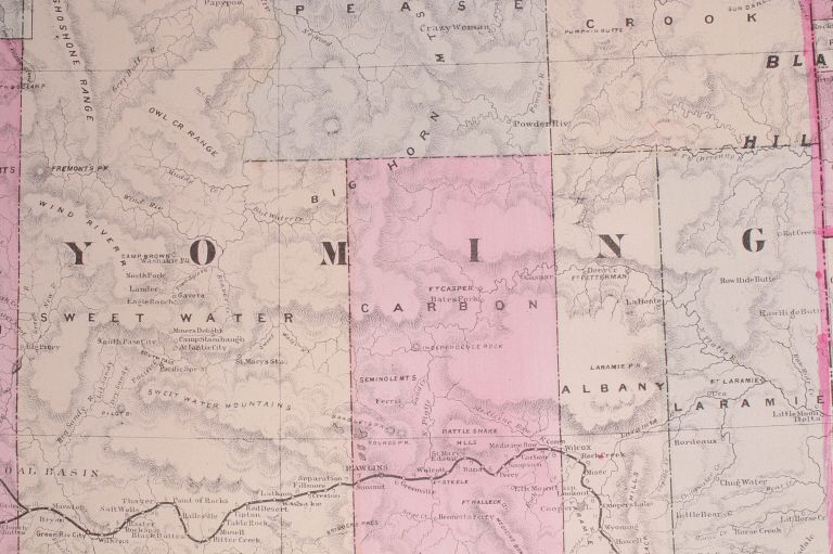
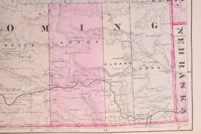
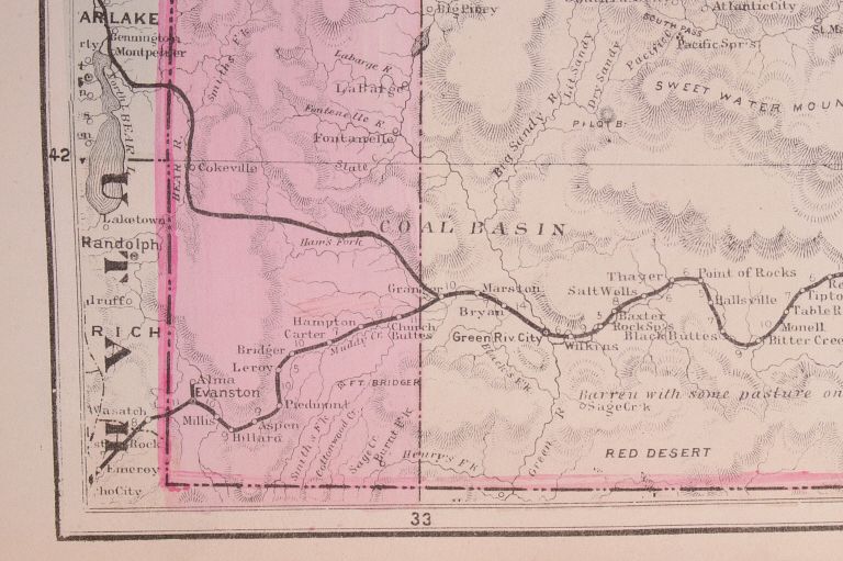
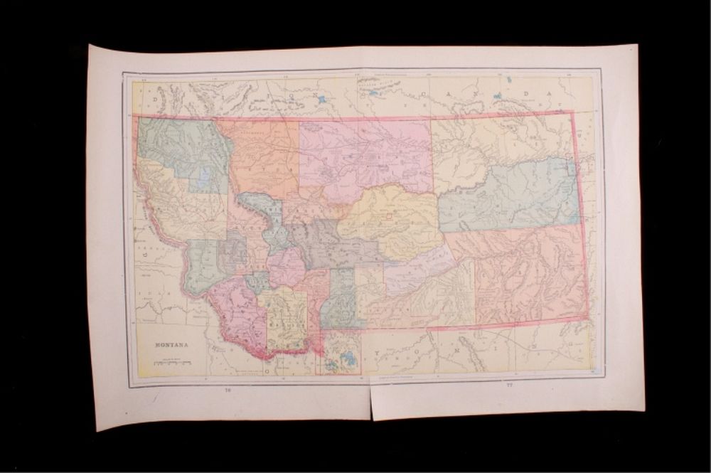
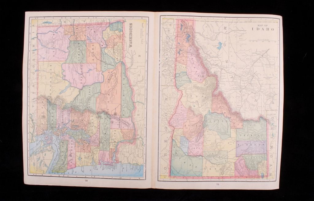
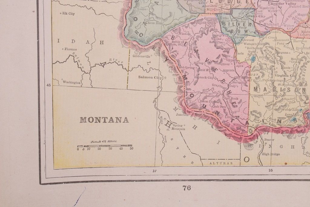
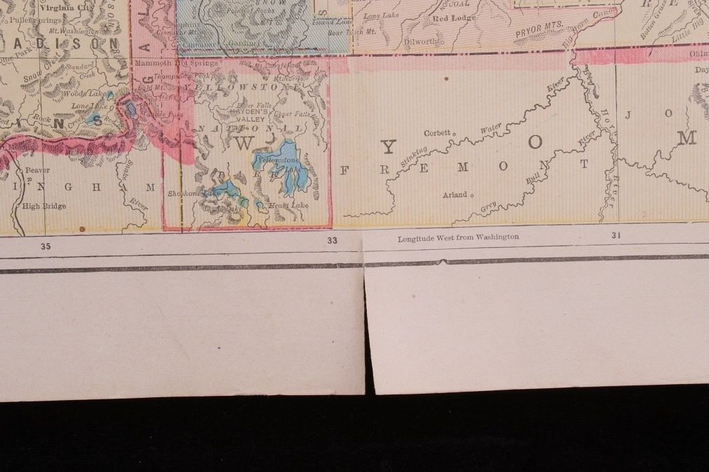
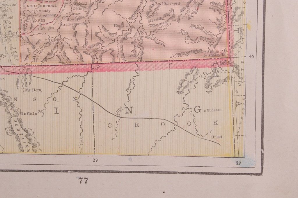
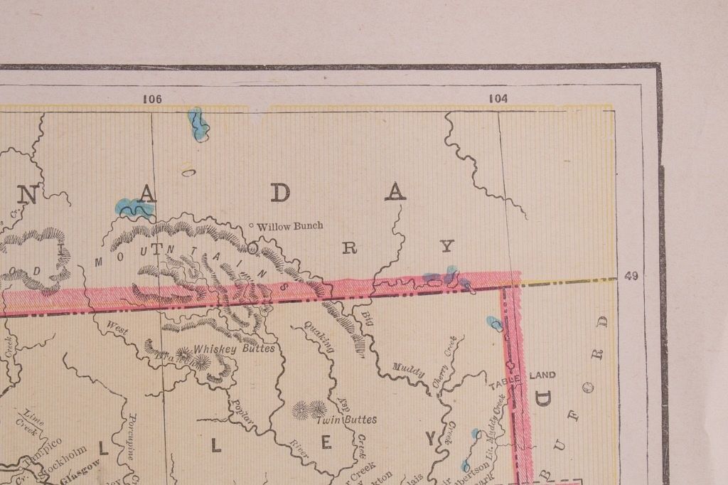
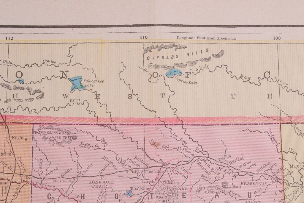
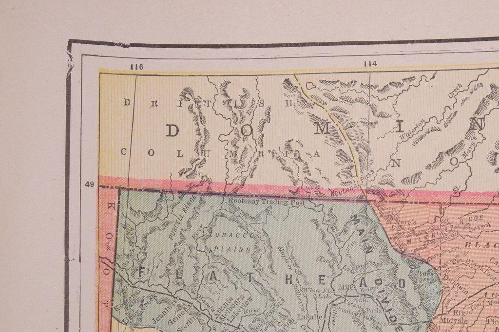
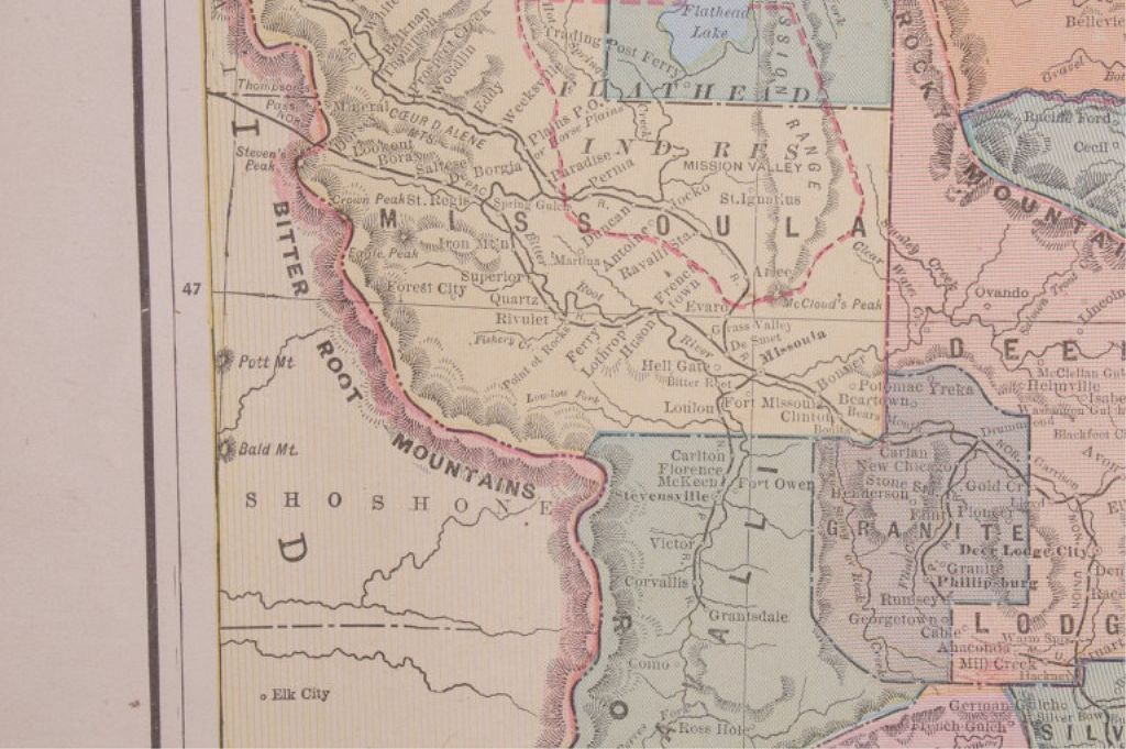
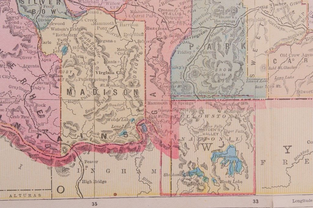
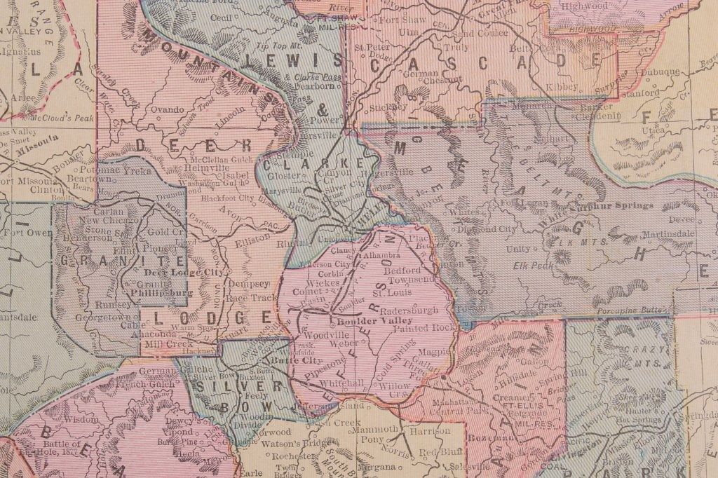
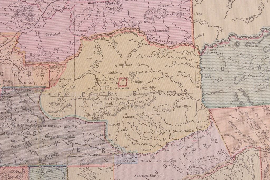
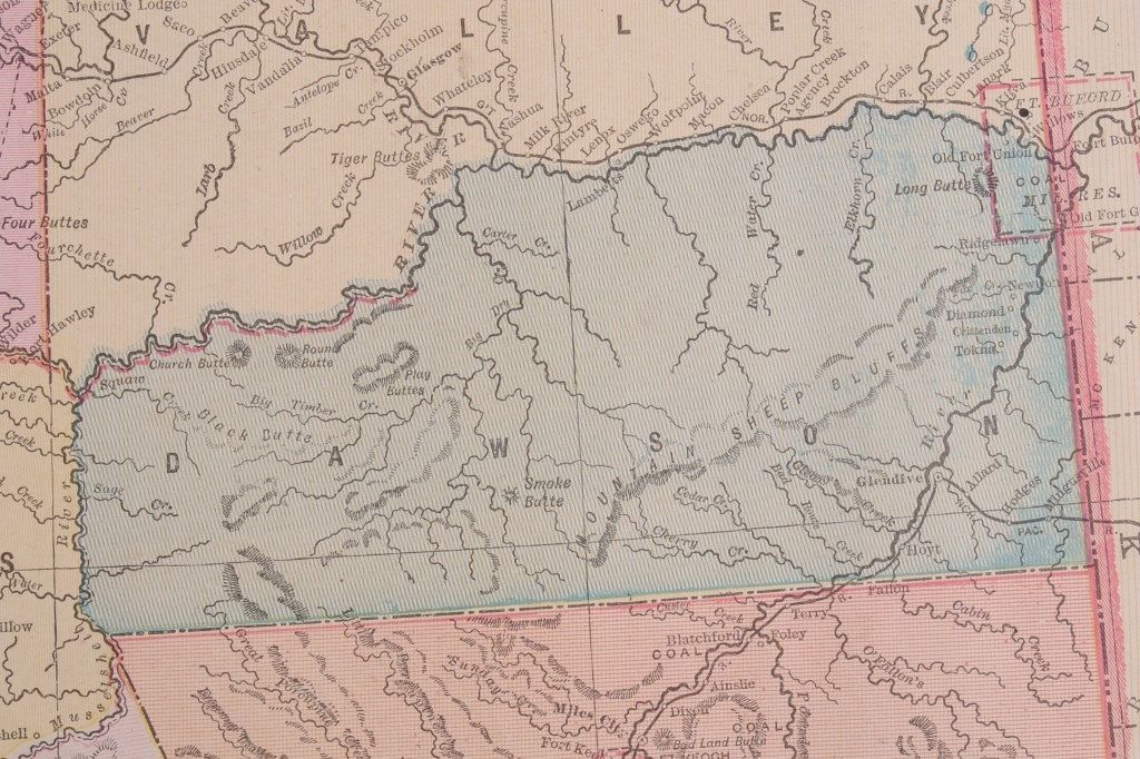
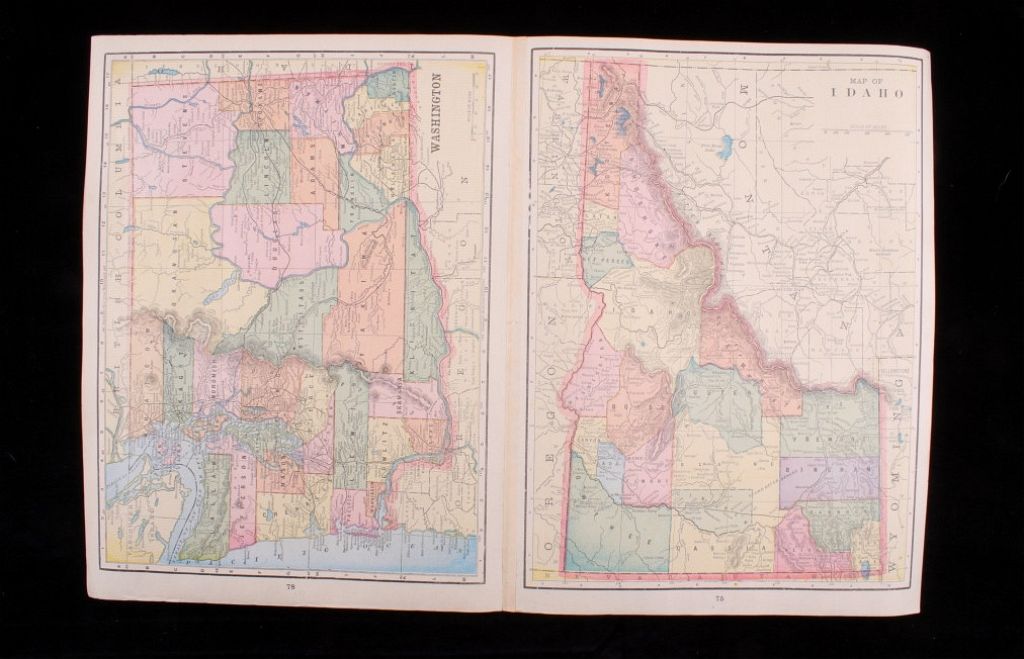
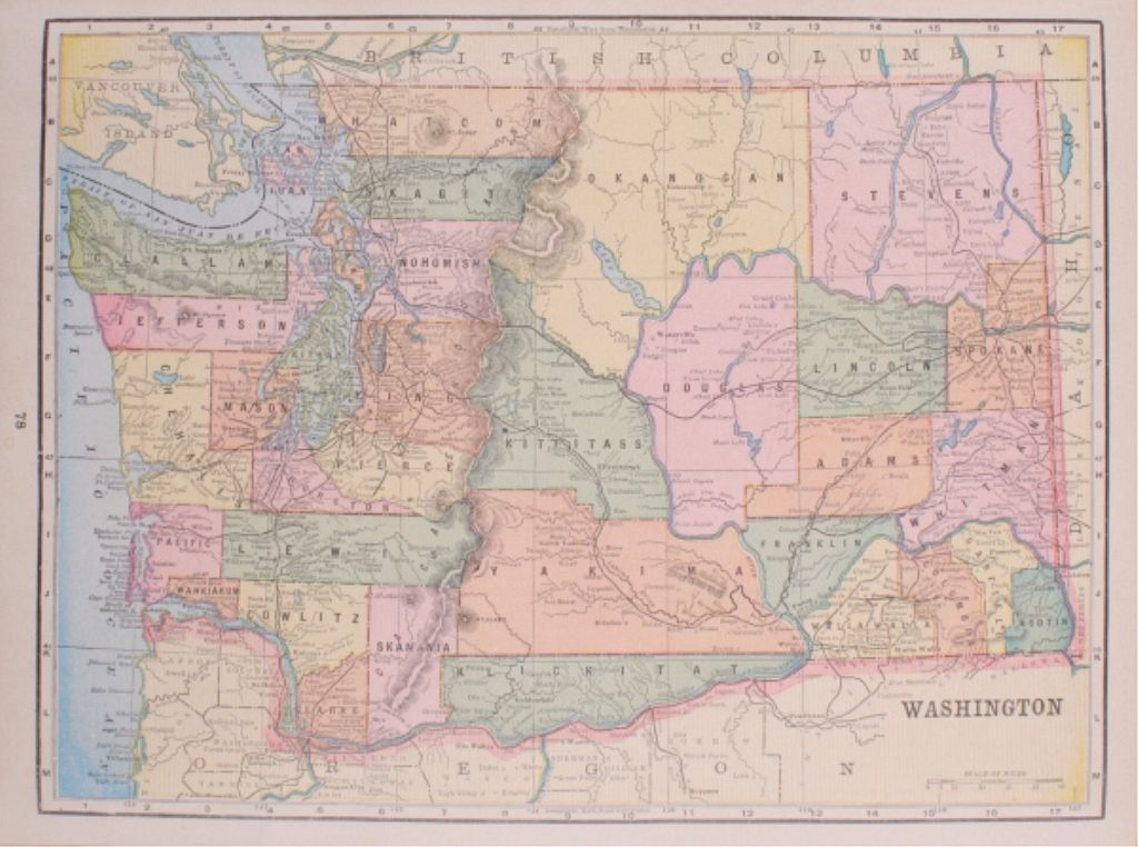
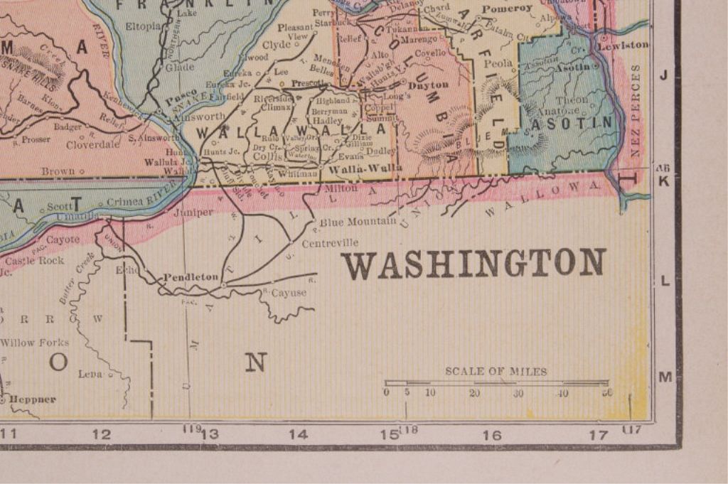
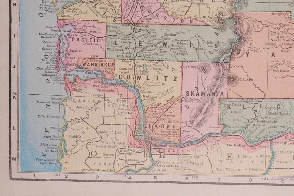
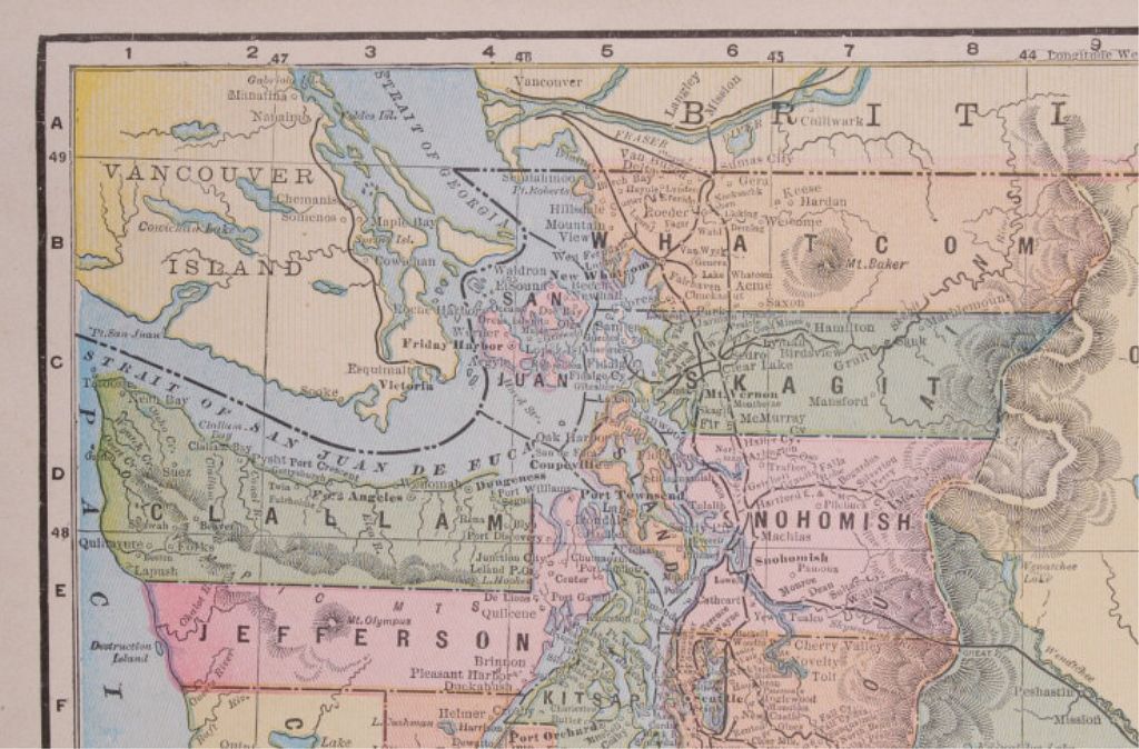
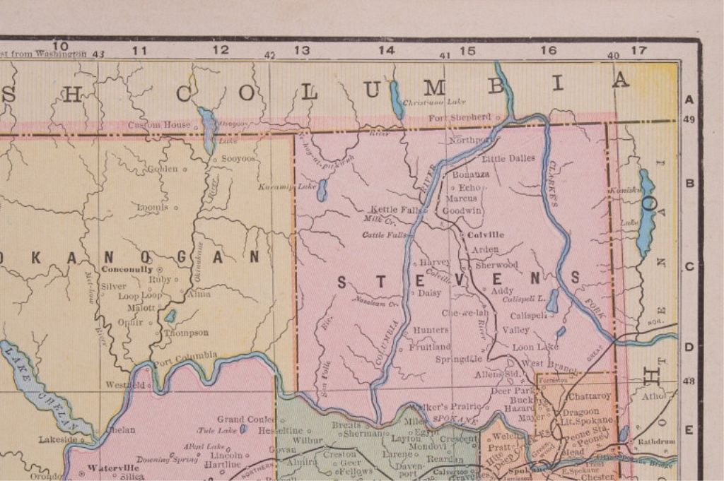
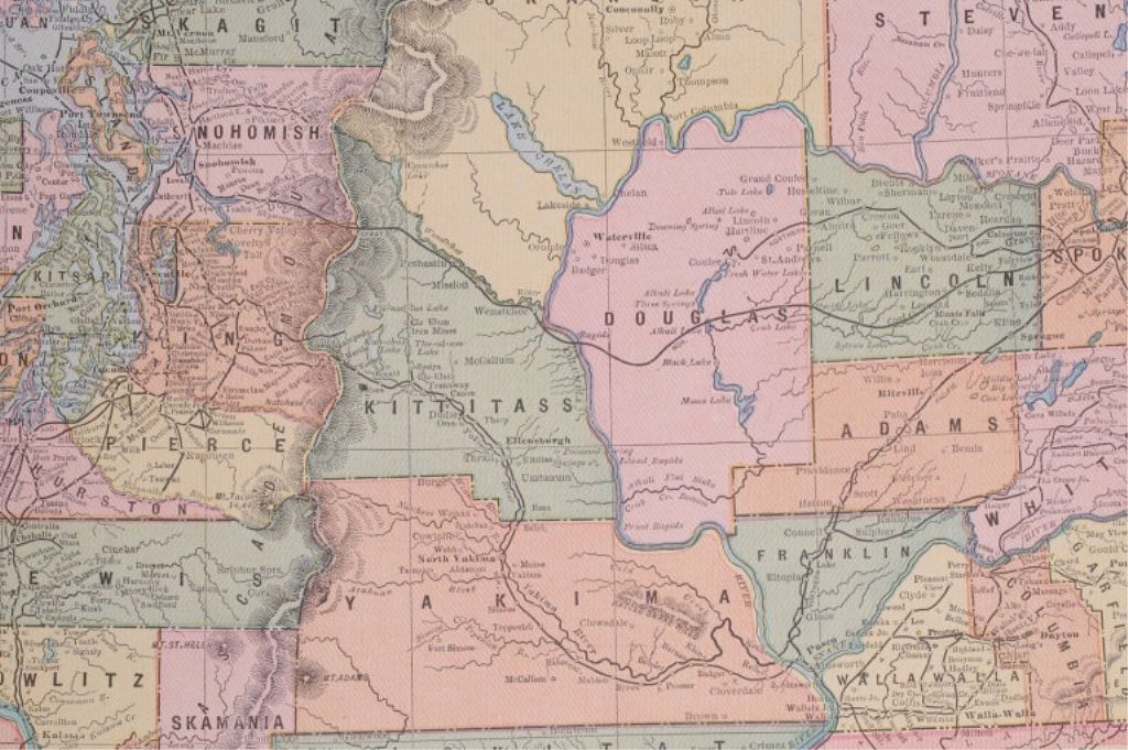
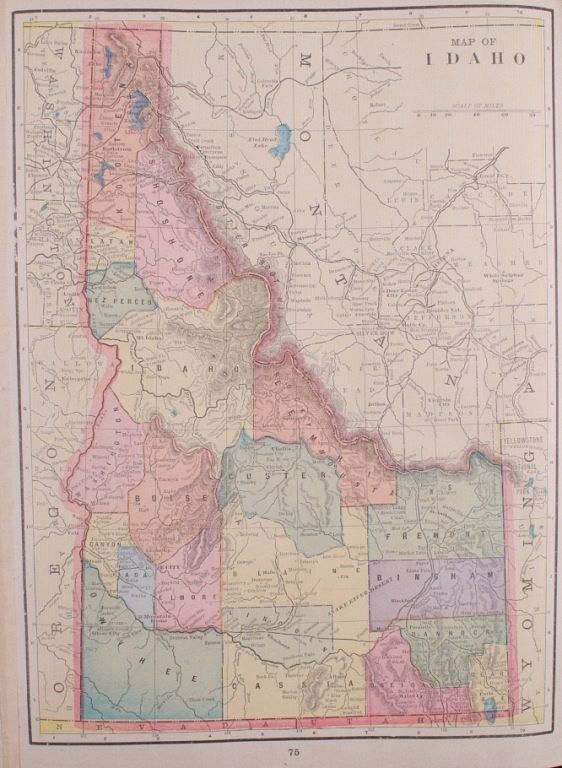
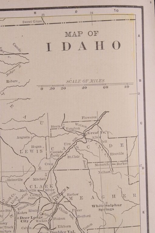
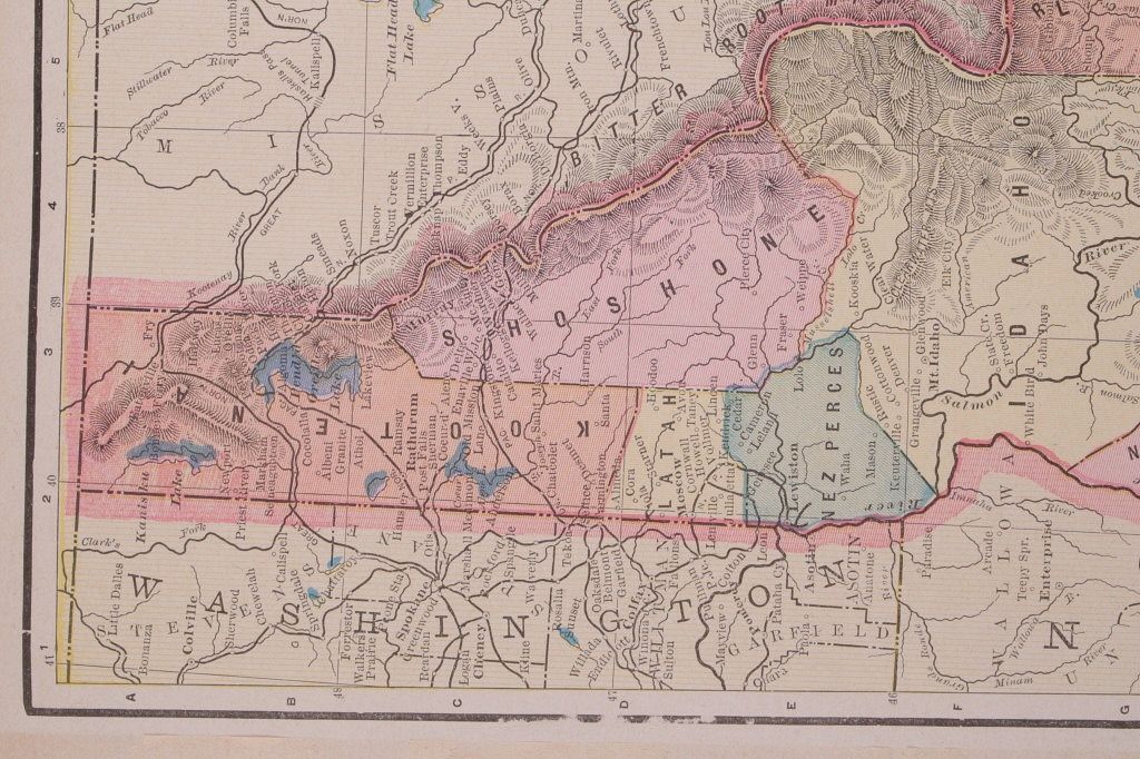
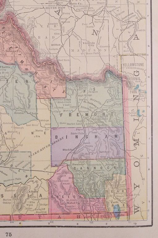
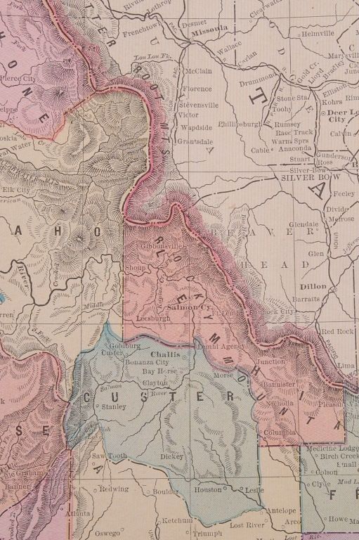
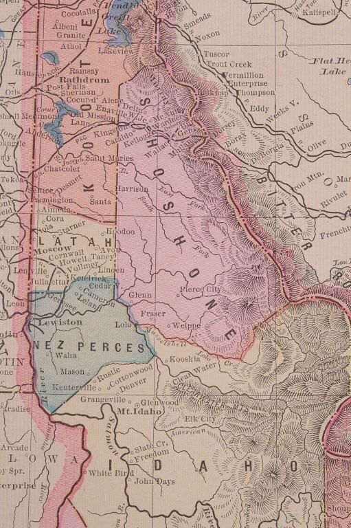
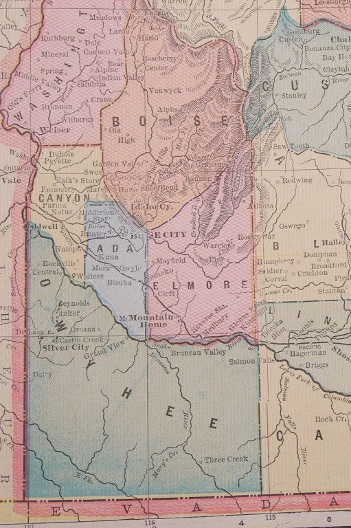
Featured in this lot are two Montana county and railroad maps originating from the 1800's. The first map has a "New Rail Road and County map of Montana and Northern Idaho 1882" on one side and Wyoming and Utah on the other side. The maps are printed on two sheets of paper that are joined together. The maps show rail lines, towns, counties, and reservations. The second map has a county map of Montana on one side and Idaho and Washington on the other side. The maps are printed on one sheet of paper that is creased in the center. The maps show rail lines, towns, counties, and reservations. The maps are in good condition and have minor edge wear. The first paper measures 21 3/4" X 13 1/2" and the second measures 21 1/2" X 14 1/2".