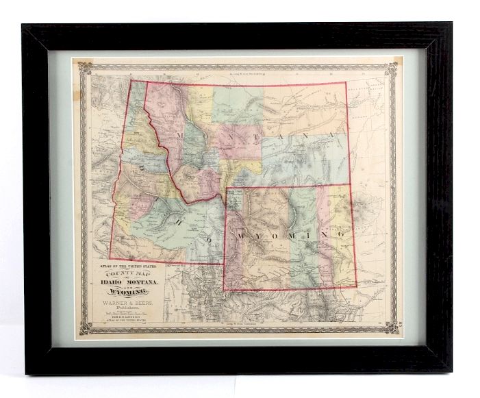
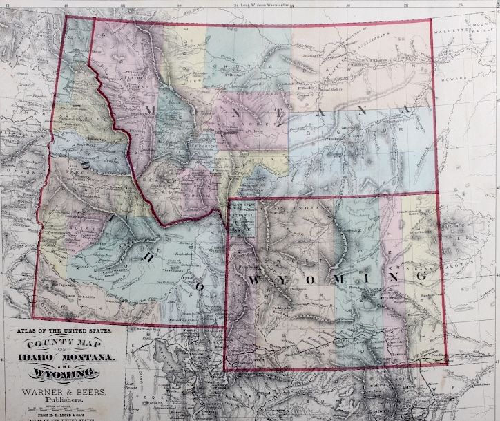
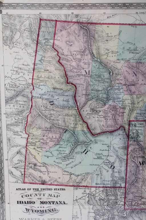
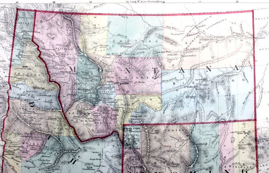
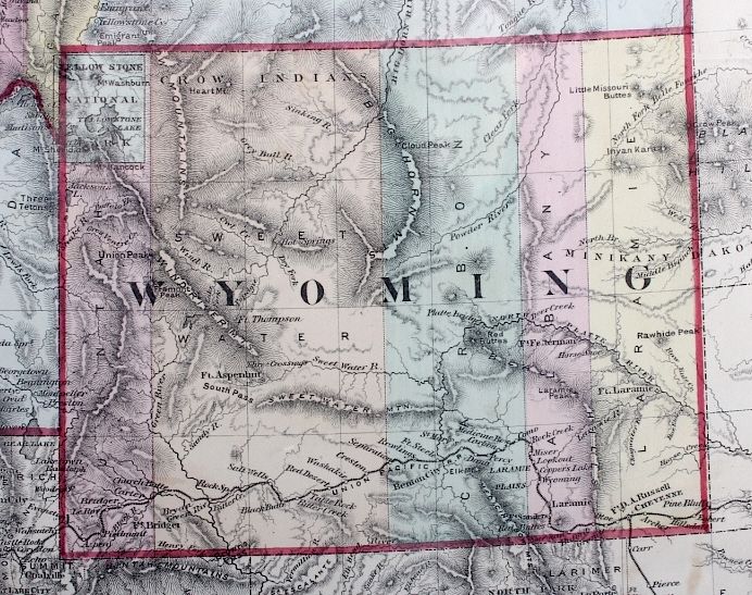
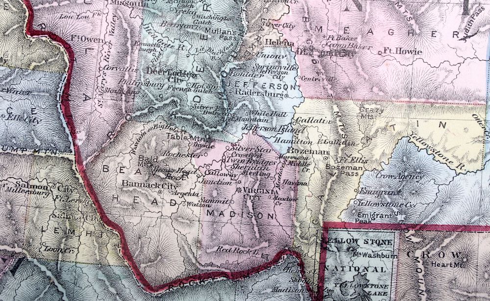
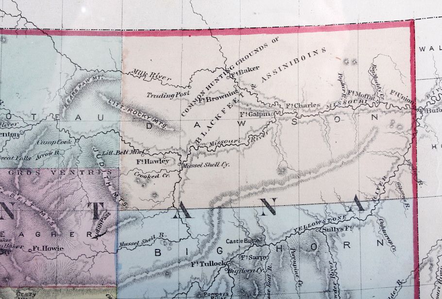
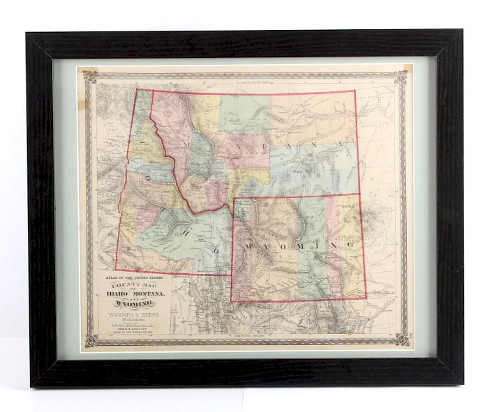
Lot 204

1873 Montana Territory Map

Estimate: $150 - $300

Bid Increments

Price Bid Increment
$0 $5
$50 $10
$100 $25
$500 $50
$1,000 $100
$2,000 $250
$5,000 $500
$10,000 $1,000
$25,000 $2,500
$100,000 $5,000
This is an 1873 Montana Territory map. The map is marked "Atlas of the United States / County Map of Idaho, Montana and Wyoming / Warner & Beers Publishers". The map shows early territorial borders with hand tinted features. The Montana map is in good condition. The frame measures 18" x 22".

Condition

For a complete representation of condition and for additional images please call 800-686-4216. It is the buyer