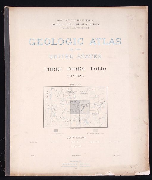
For your consideration is this 1896 Geological Atlas of the United States: Three Forks Folio Montana. The town of Three Forks derived its name from the headwaters of the Missouri which is the confluence of the three rivers that are the source of the longest river system on the continent, the Missouri-Mississippi drainage. In 1805, Captains Meriwether Lewis and William Clark and the Corps of Discovery camped at the headwaters of the Missouri River. This is a geological atlas of Three Forks, Montana and includes information, such as descriptions, topography, areal geology, economic geology, structure sections, and columnar sections. A geologic map or geological map is a special-purpose map made to show various geological features. Rock units or geologic strata are shown by color or symbols. Bedding planes and structural features such as faults, folds, are shown with strike and dip or trend and plunge symbols which give three-dimensional orientations features. Stratigraphic contour lines may be used to illustrate the surface of a selected stratum illustrating the subsurface topographic trends of the strata.
The condition of this survey is good, with wear and foxing consistent with its age. It is shown behind a protective plastic sleeve. The measurements of this geological survey are 22"L x 18.5"W.