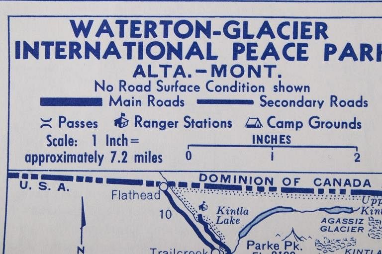
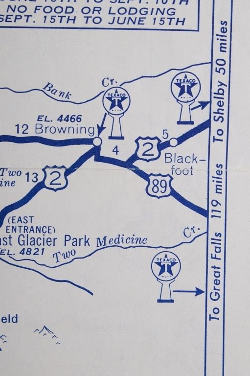
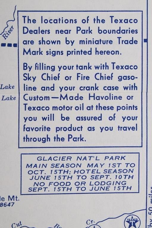
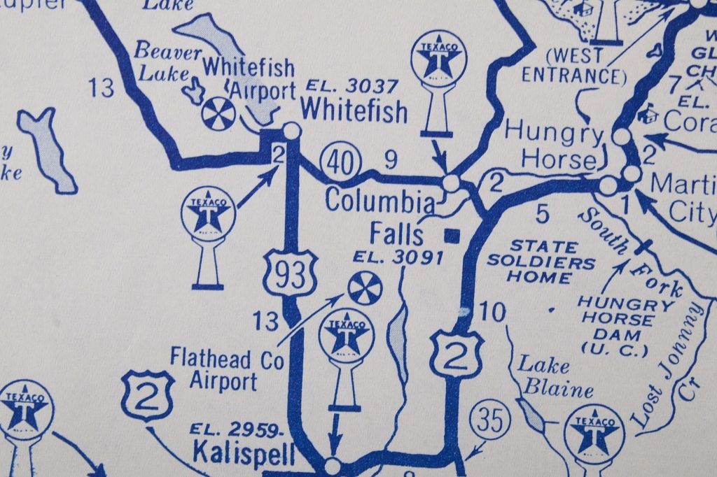
Lot 643

1940-50's Texaco Yellowstone & Glacier Park Maps

Estimate: $100 - $300

Bid Increments

Price Bid Increment
$0 $5
$50 $10
$100 $25
$500 $50
$1,000 $100
$2,000 $250
$5,000 $500
$10,000 $1,000
$25,000 $2,500
$100,000 $5,000
Featured in this lot is this Texaco Yellowstone National Park and Glacier National Park double-sided map, circa 1940's to 1950's. This is a double-sided map of the Yellowstone National Park and Glacier National Park with main roads, secondary roads, passes, ranger station, and camp grounds. It was copyrighted by Rand Mcnally & Company. The condition of this map is good, with no obvious signs of damage. The measurements of this map are 10 1/2" x 13 1/2".