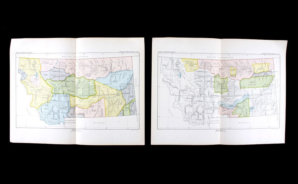
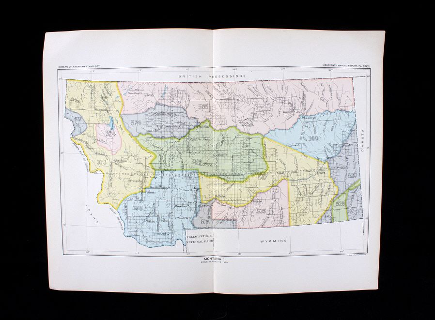
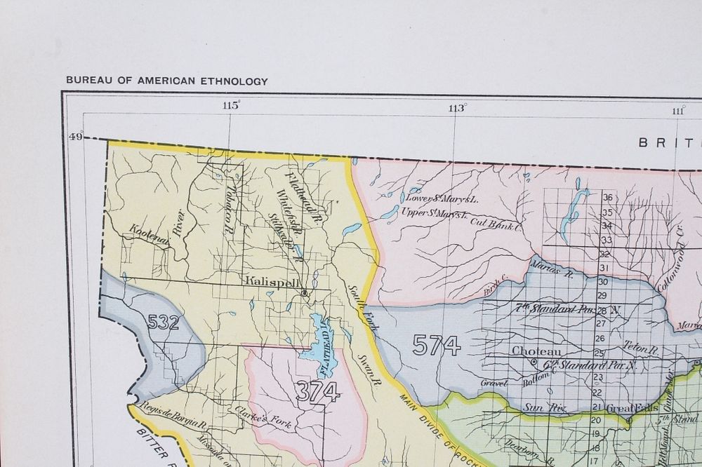
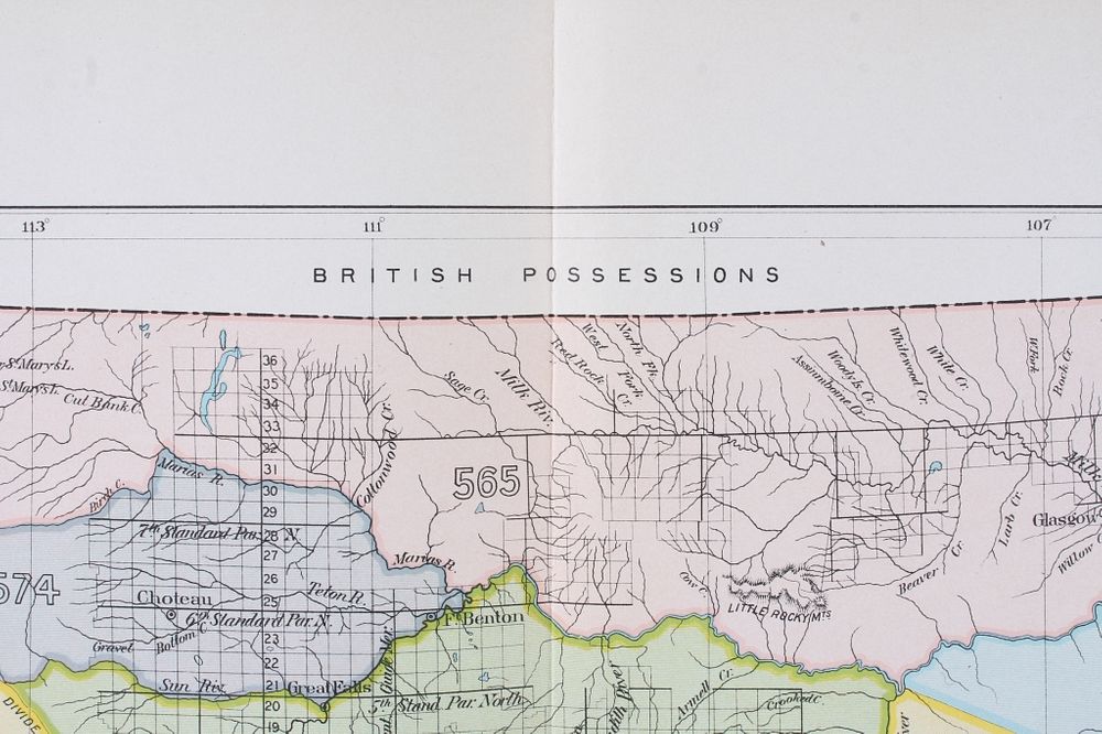
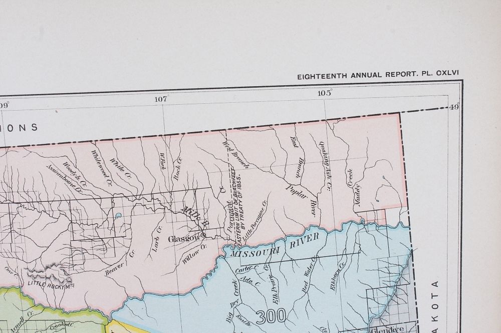
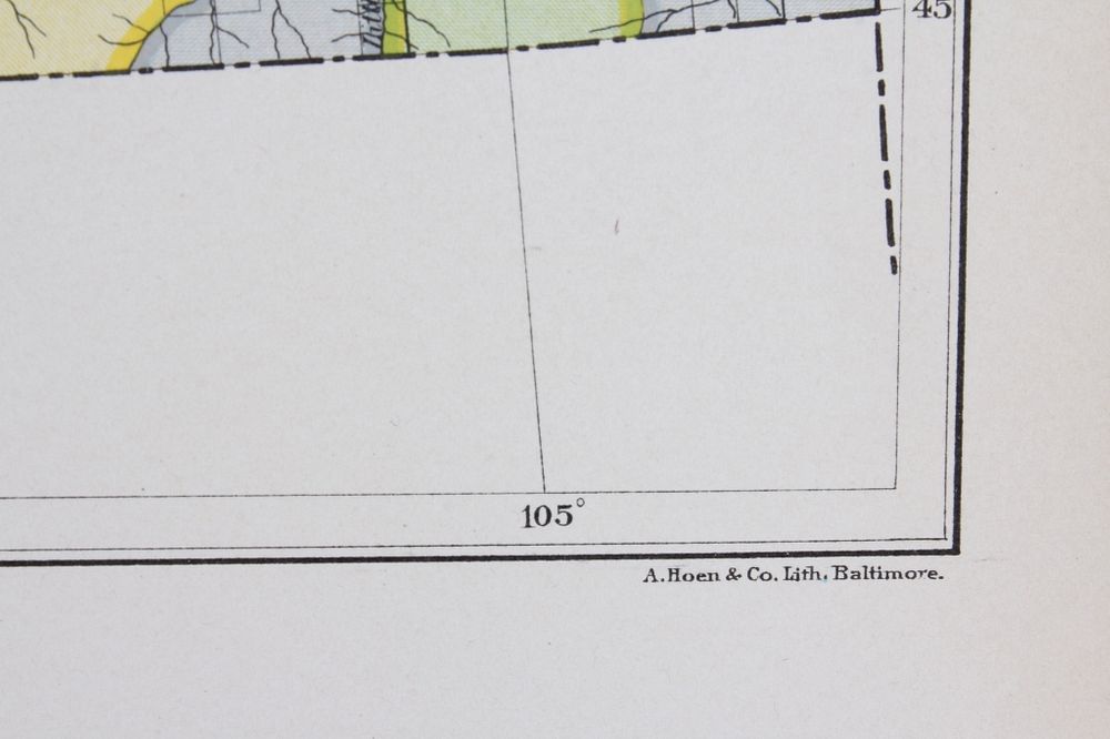
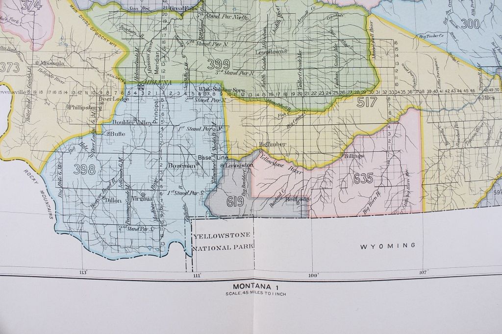
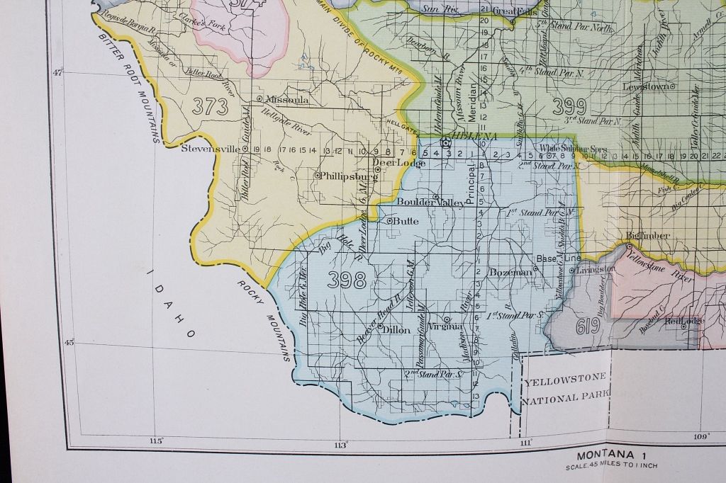
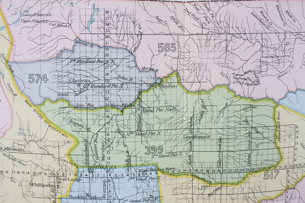
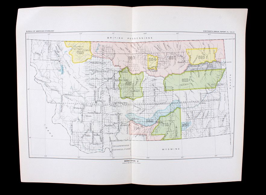
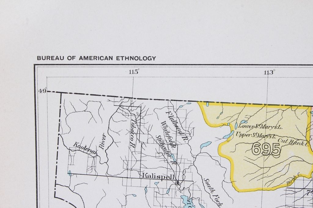
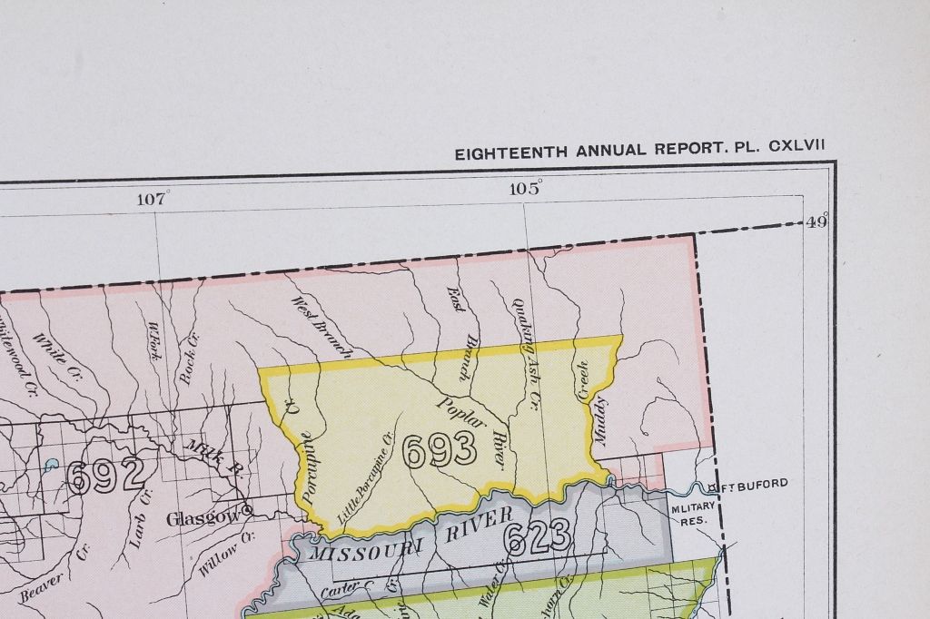
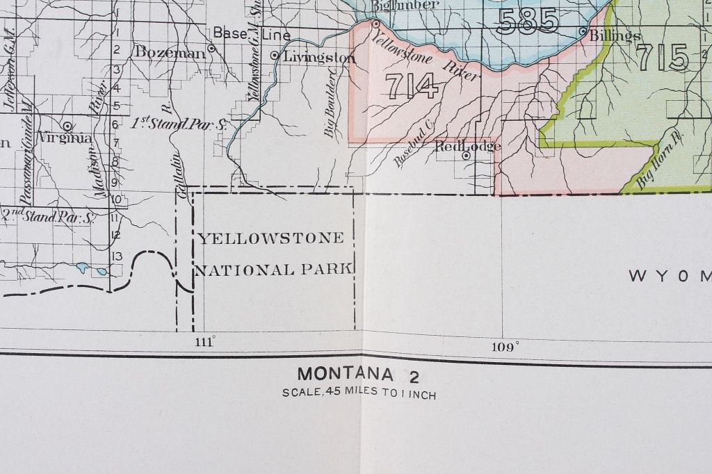
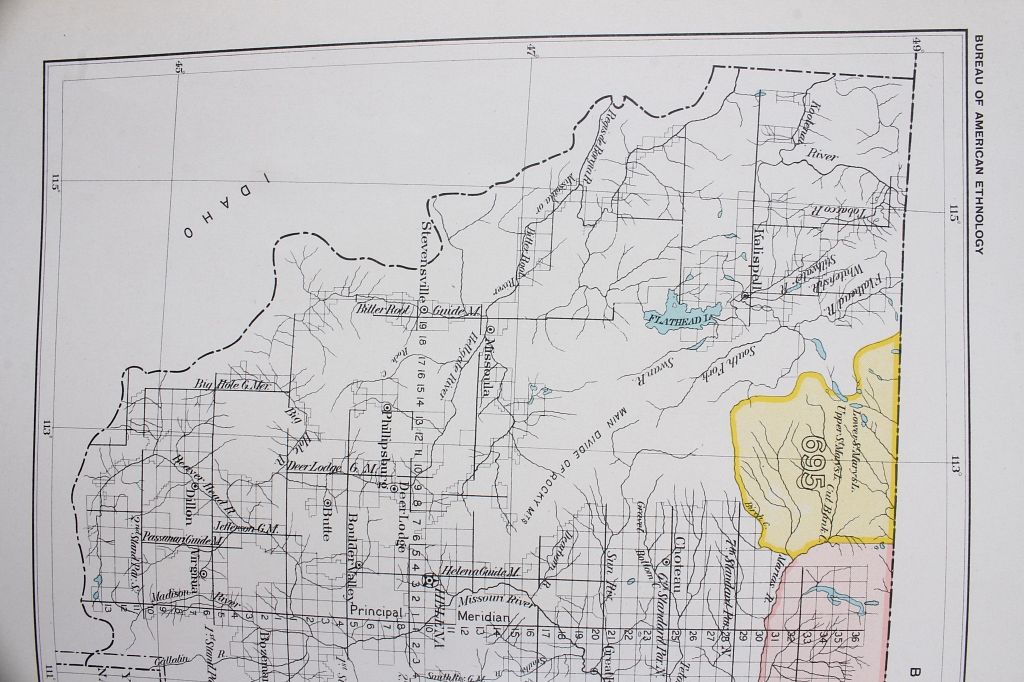
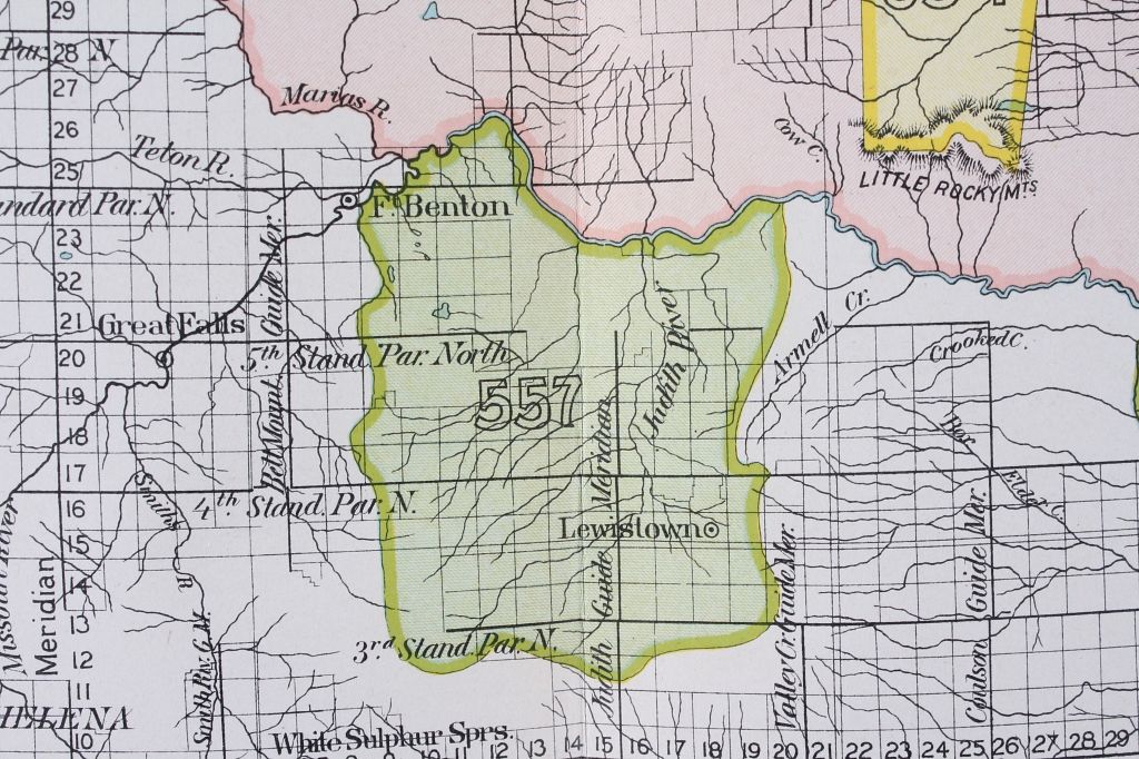
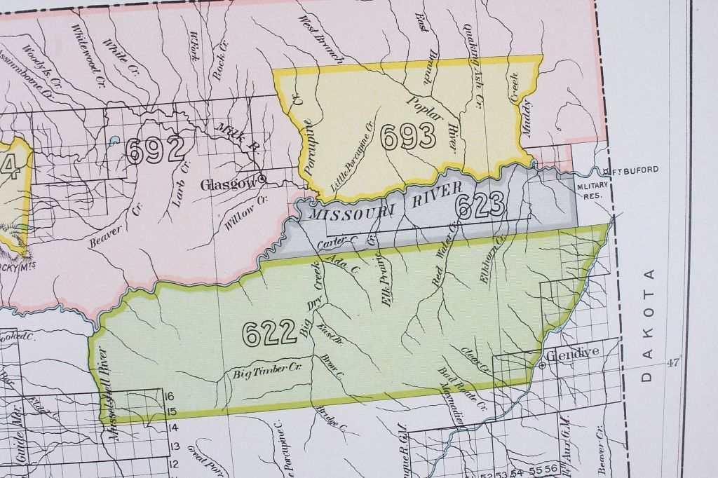
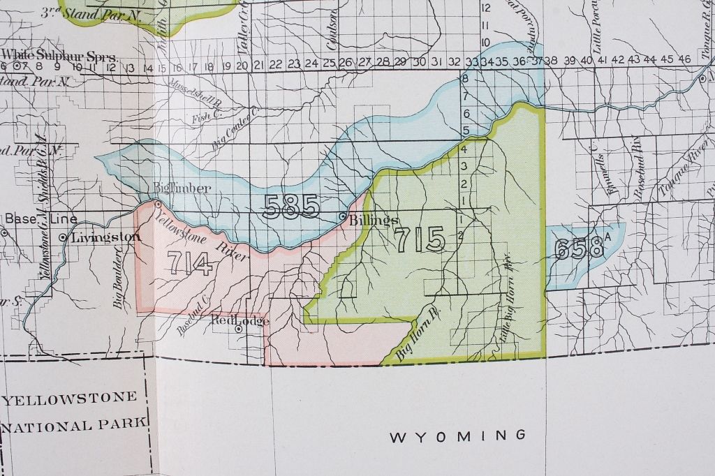
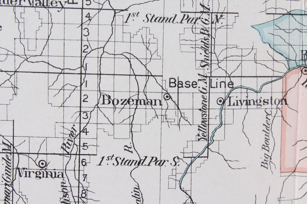
For your consideration are two Montana Maps for the Bureau of American Ethnology's eighteenth annual report, CXLVII and CXLVI. These prints were created by A. Hoen & Co. Lith., Baltimore. This report was to the Secretary of the Smithsonian Institution, concerning the respective rights of European nations in the newly discovered territory, foreign policy toward the Indians, Colonial policy toward the Indians, and United States policy toward the Indians. The report includes a Schedule of Treaties and Acts of Congress, authorizing allotments of land in severalty and a schedule of land cessions. These maps show highlighted territory parts of Montana, circa 1899, and include major cities and terrain elements. These maps are at a "scale 45 miles to 1 inch", as indicated in the bottom center of the maps.