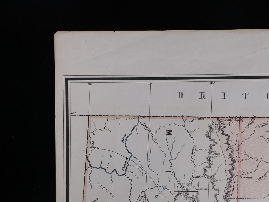
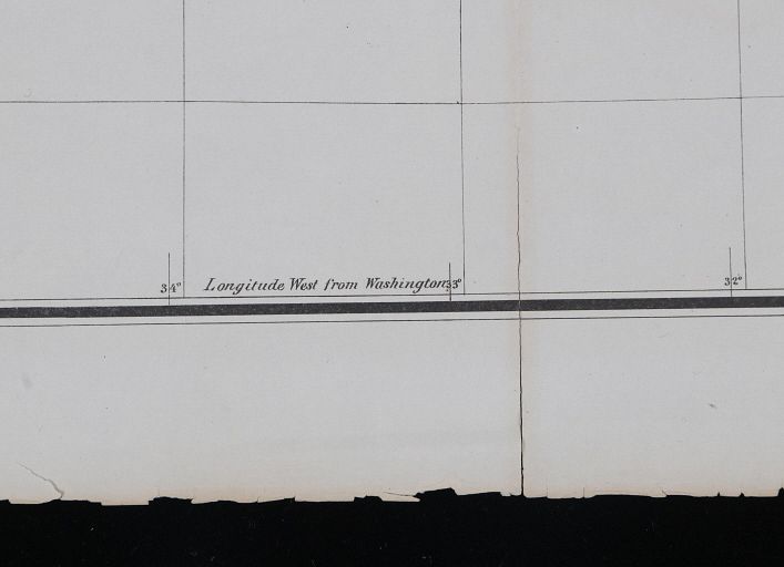
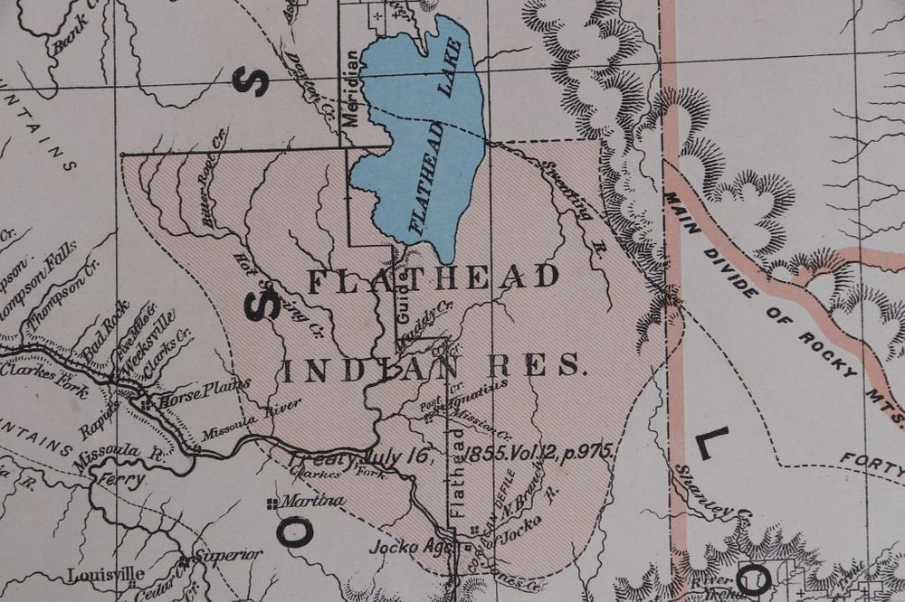
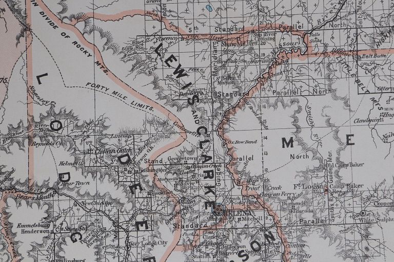
This is an 1883 map of the Montana Territory complied from the official records of the General Land Office, and other sources. G.P. Strum, Principal Draughtsman, G.L.O. This photo lithograph print is by Julius Bien & Co 439 Duane Str. N.Y. . The map is marked "Department of the Interior General Land Office N.C. McFarland, Commissioner Montana Territory 1883". The map shows the distinct county lines as well as the vast lands designated as Indian reservations. The Montana Territory map is in good condition with a small tear at the seem on the bottom center. It measures 27" x 34".