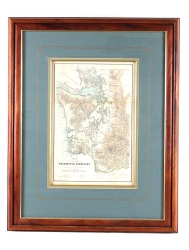
"Map of that Part of the Territory of WA..." 1857
Bid Increments
| Price | Bid Increment |
|---|---|
| $0 | $5 |
| $50 | $10 |
| $100 | $25 |
| $500 | $50 |
| $1,000 | $100 |
| $2,000 | $250 |
| $5,000 | $500 |
| $10,000 | $1,000 |
| $25,000 | $2,500 |
| $100,000 | $5,000 |
After you have succeessfully completed your purchase, including payment of your item, the shipping process will begin. Our company has partnered with a few local third party shipping vendors. Shipping will be handled between these third party business and the buyer. Auction company is not responsible for shipment or any duties there-in unless stated below. Firearms will be shipped by our company. Once you invoice has been paid for contact Mark at 800-686-4216 ext. 3 for shipping infomation on firearms. After your invoice has been paid one of the below third party shippers will pickup your items. Once these companies have created a shipping quote for you they will contract you using the contact information you have provided on your auction registration. Make sure to include the shipping address and correct contact information for a success shipping experience. For questions on shipping please contract the companies below or JoEllen at 800-686-4216 ext. 1 For shipping quotes please contract the companies below: "The UPS Store” #2420 1106 W Park St, Livingston, MT 59047 Hours: Monday - Friday, 8:30am - 6:00pm Saturday, 10:00am - 3:00pm Sunday, CLOSED Phone: 406-222-4971 Fax: 406-222-9257 Email: store2420@theupsstore.com Postal Annex 280 West Kagy Boulevard D, Bozeman, MT 59715 Hours: Monday - Friday, 8:00am - 6:00pm Saturday, 10:00am - 3:00pm Sunday, CLOSED Phone: 406-219-2210 Fax: 406-219-2209 Email: pa14012@postalannex.com


