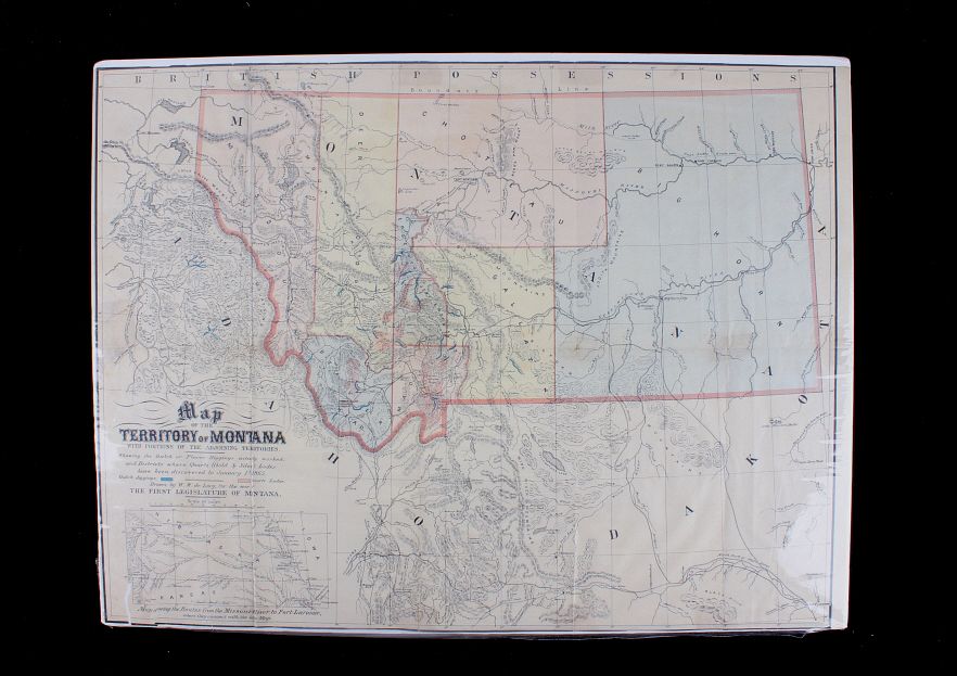
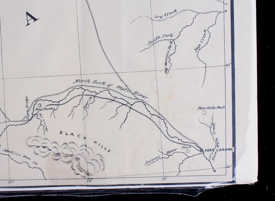
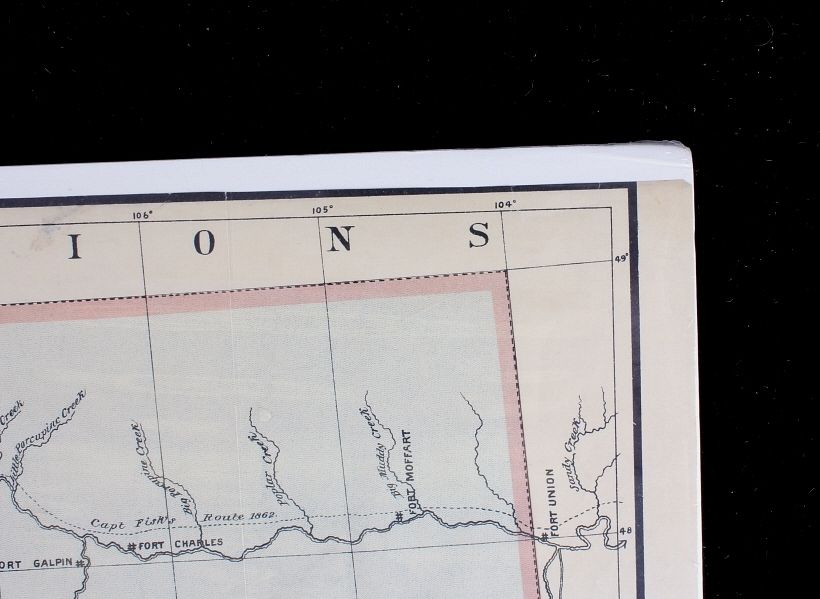
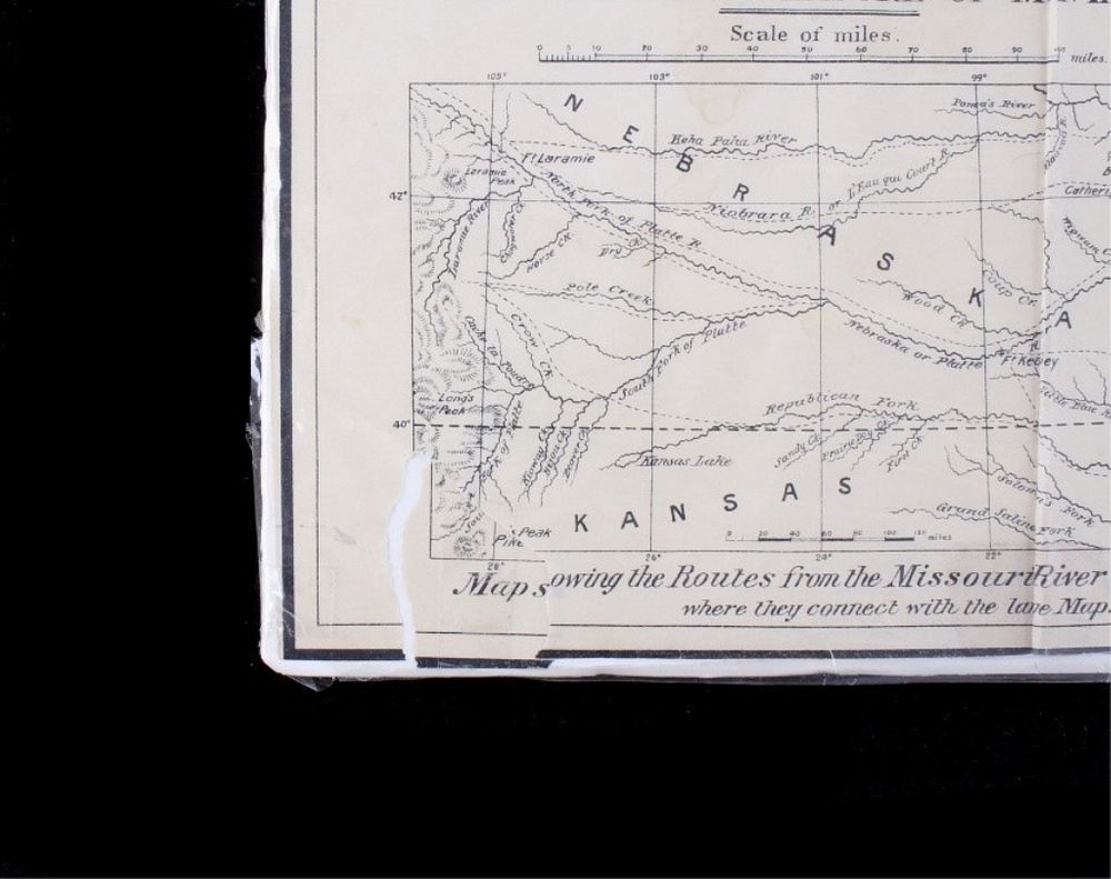
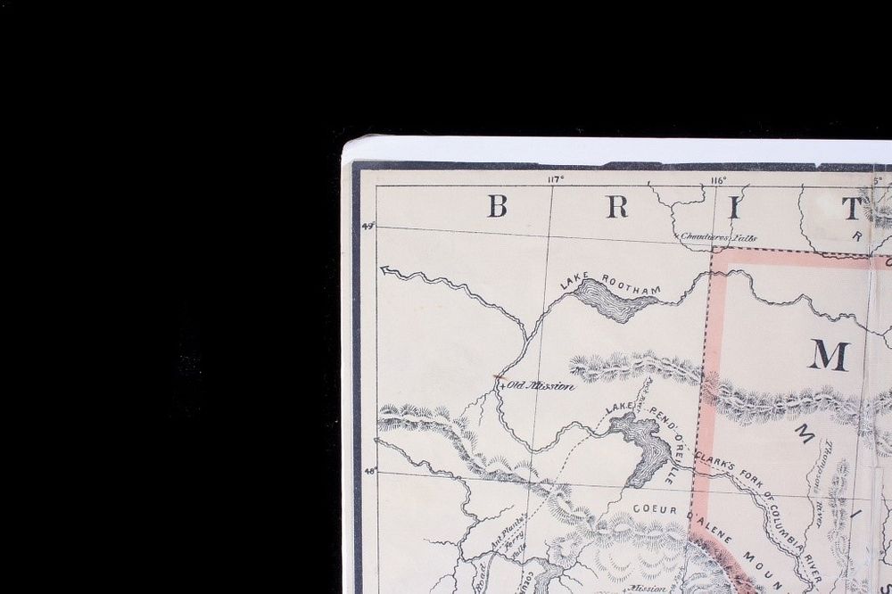
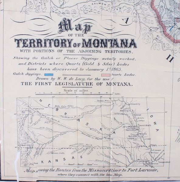
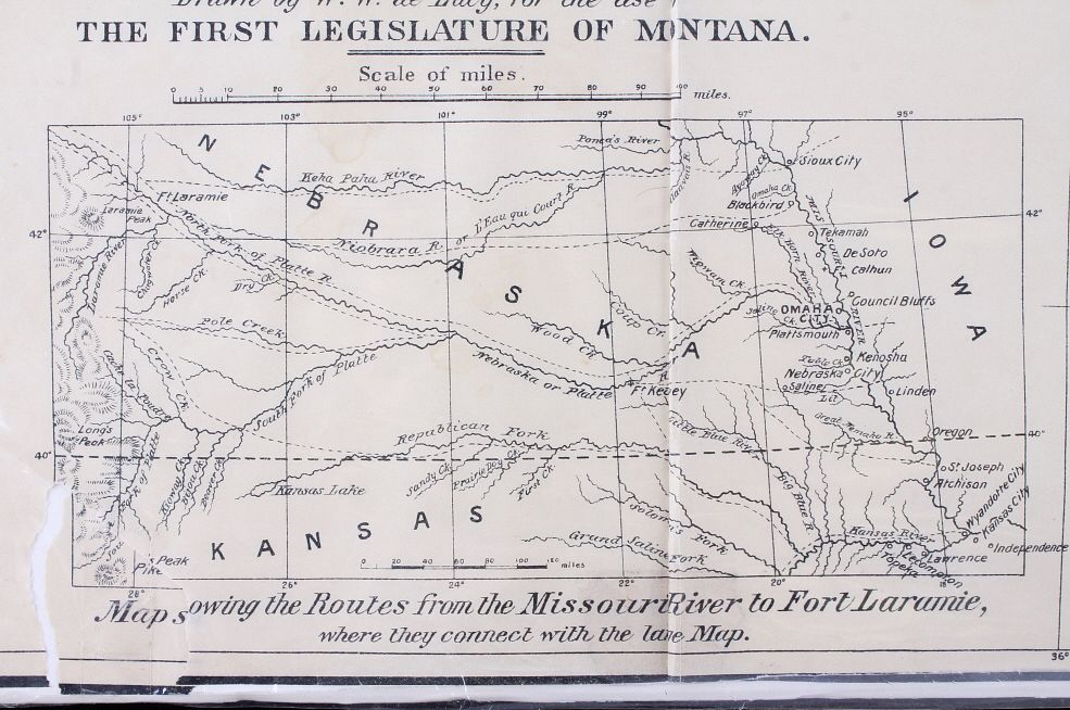
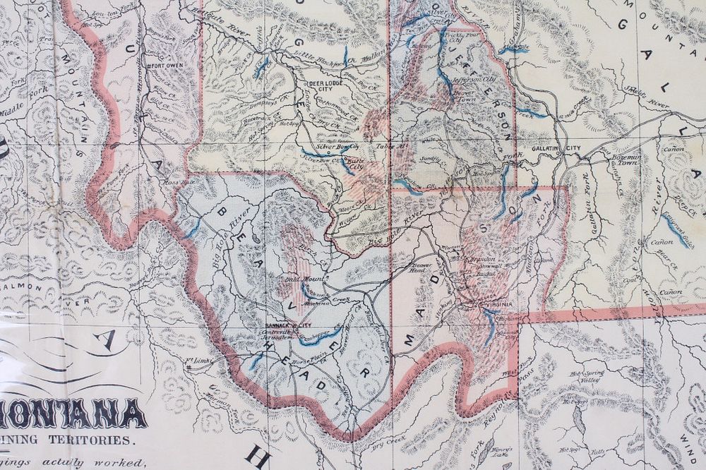
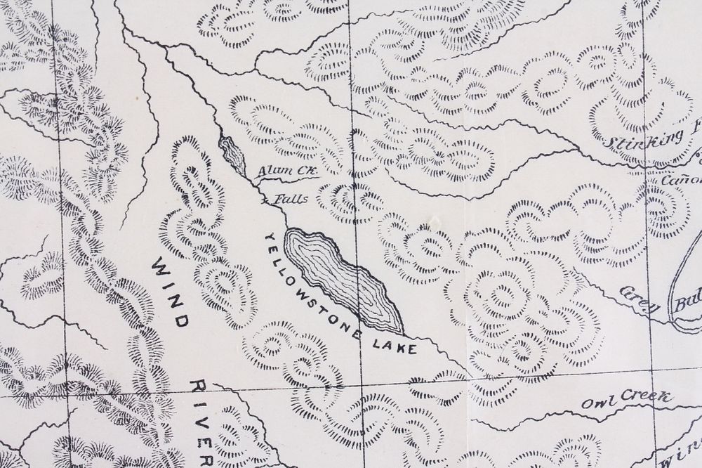
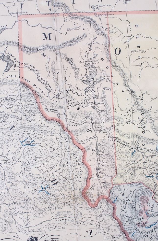
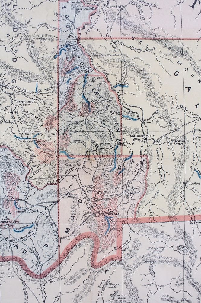
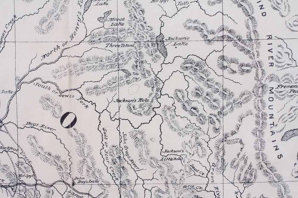
For your consideration is a 1865 Montana Territory Map by De Lacy, W. W. (Walter Washington), 1819-1892, In the bottom left the map shows the full title and description "Map of the Territory of Montana with portions of the adjoining territories. Showing the Gulch or Placer Diggings actually works, and Districts where Quartz (Gold & Silver) Loges have been discovered to January 1st-1865. Drawn by W.W. de Lacy, for the use of The Firest Legislature of Montana." This map outline in red color with the State of Montana colored by county and including a color scale indicating military reserves and mines. The 1865 map is considered one of the rarest territorial maps of the western United States. This piece includes an inset of "Map showing the routes from the Missouri River to Fort Laramie, where they connect with the large map." The map shows good condition and color overall with a short tear in the bottom left, and wear across the piece. The map measures 19 1/4" tall by 29 1/2" wide.