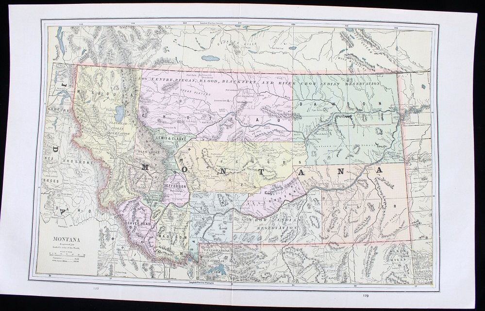
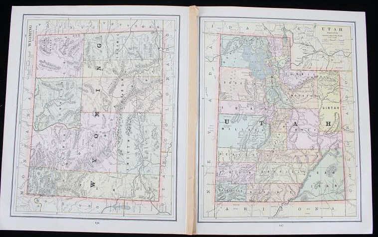
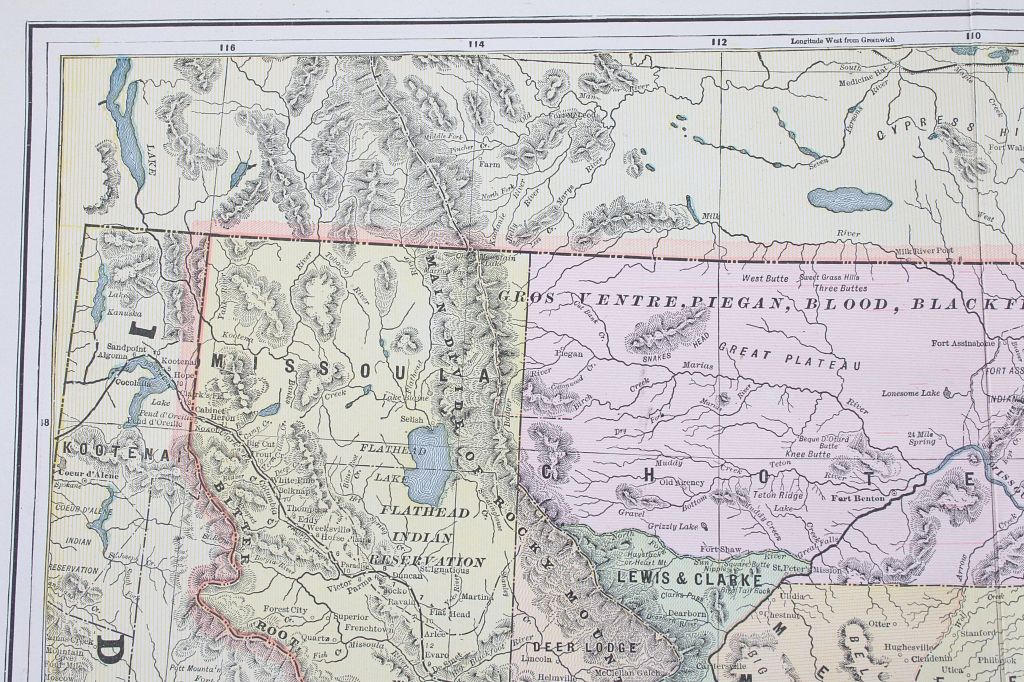
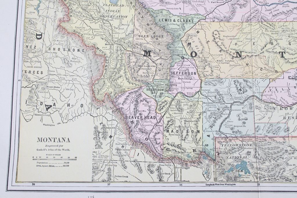
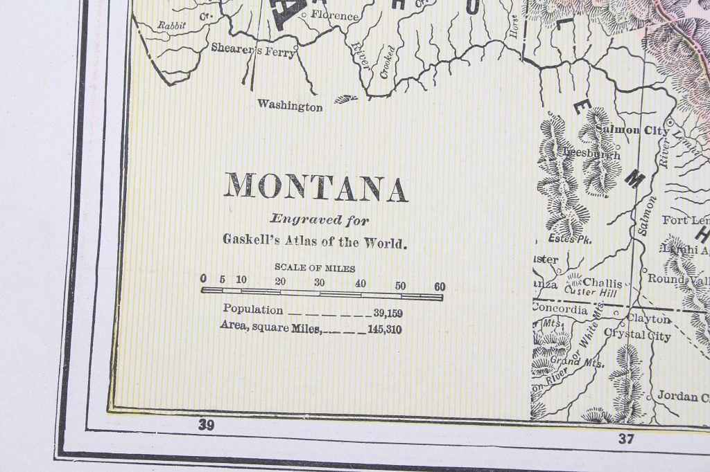
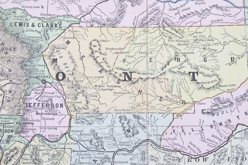
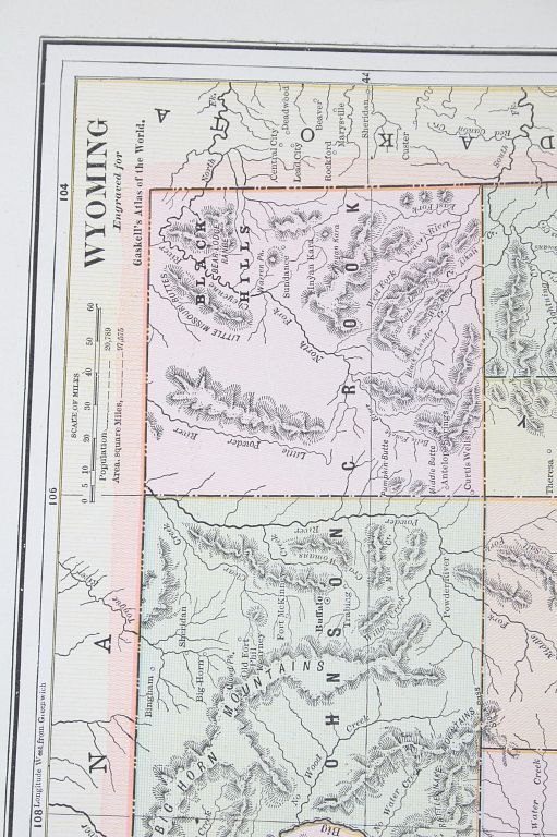
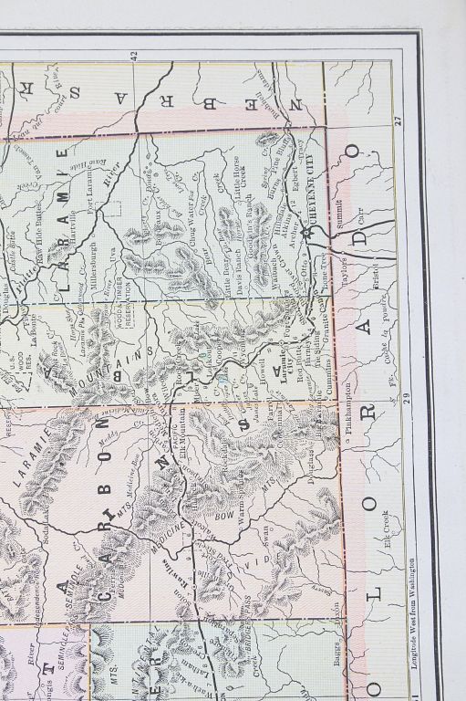
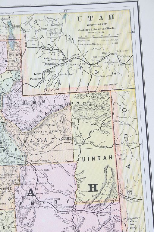
This lot includes an Antique printed color map from Gaskell's Atlas of the World, 1886. The middle double-sheet map is Montana, the single sheet maps on the verso are Wyoming and Utah. Any of these maps will frame nicely. They include topographic information, railroads, forts, towns, capitals, and population. Early county lines and Native American Indian Reservations. At this point Yellowstone National Park exists (created 1872) in Wyoming. George Franklin Cram (1842-1928) was an American map publisher, George F. Cram Co., which became a leading map firm in the United States. His was one of the first American firms to publish a world atlas, and was instrumental in developing the cerography technique, in which metal printing plates were created by electroplating a wax engraved model. It made large and vastly less expensive print runs possible, which brought more affordable maps into people's homes.
Item is in good condition, some foxing noted, measurements Montana map 21.75"L x 13.5"W, verso maps 13.5"L x 11"W each.