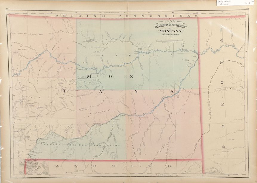
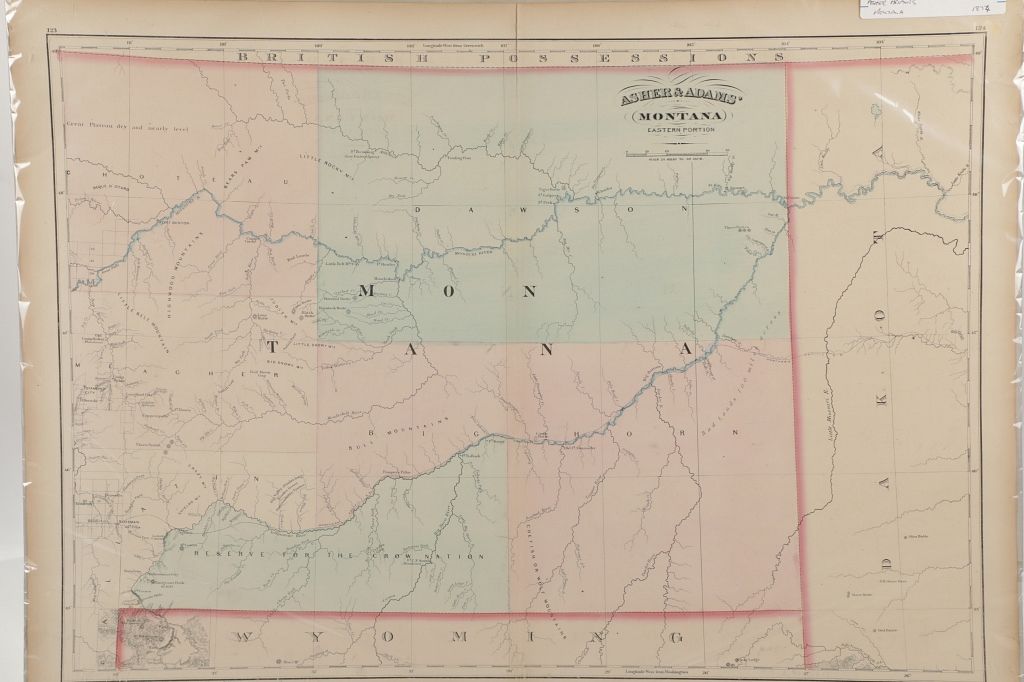
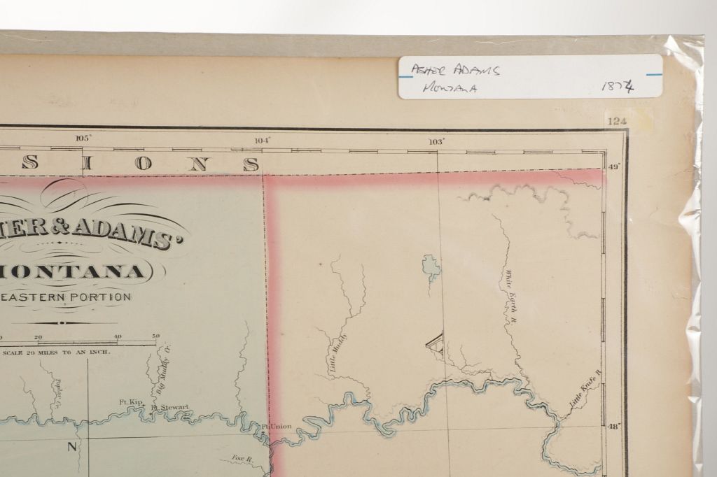
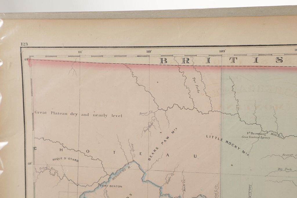
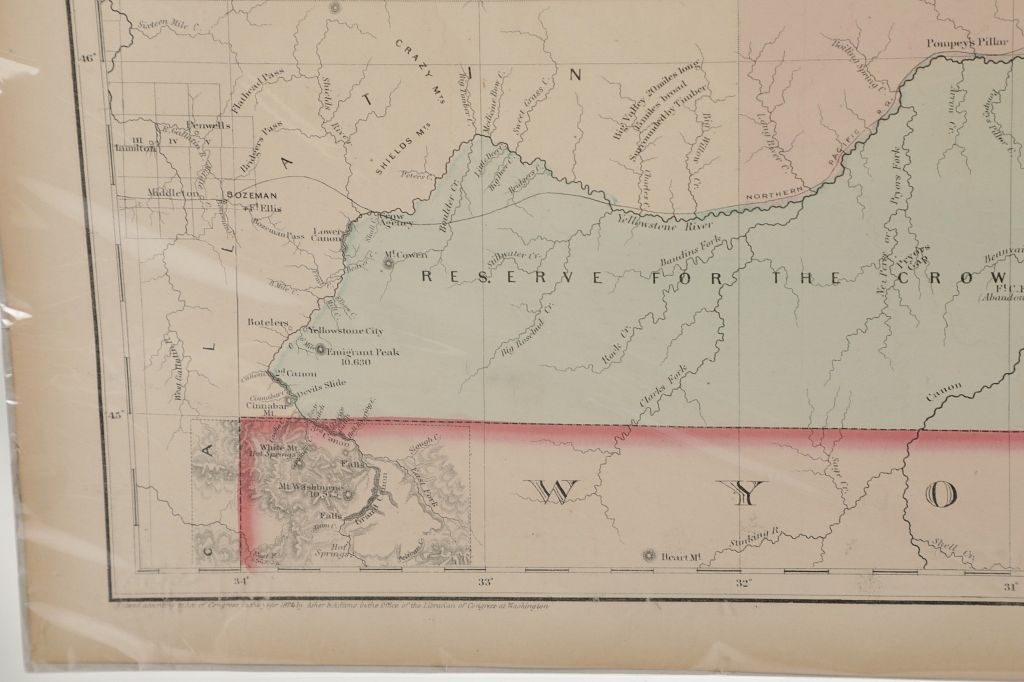
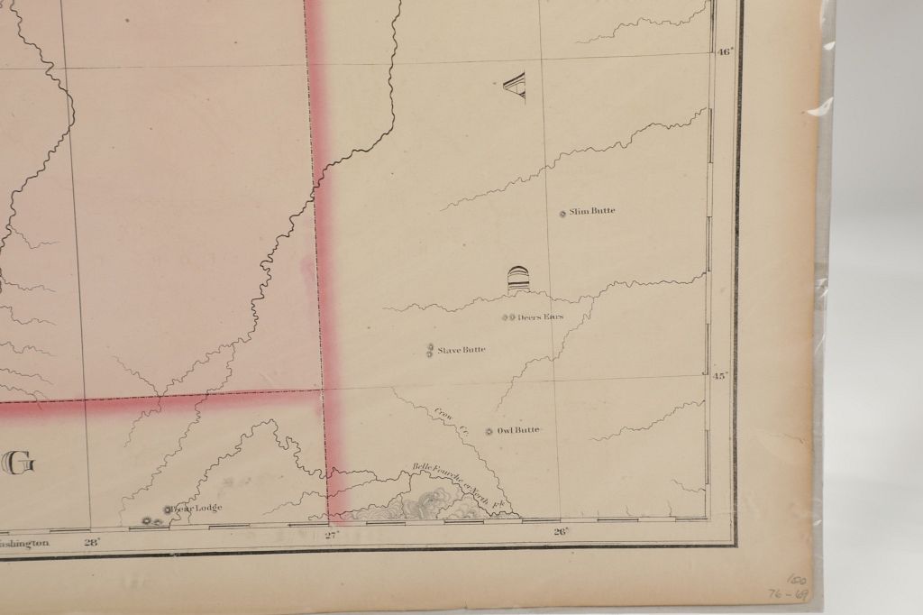
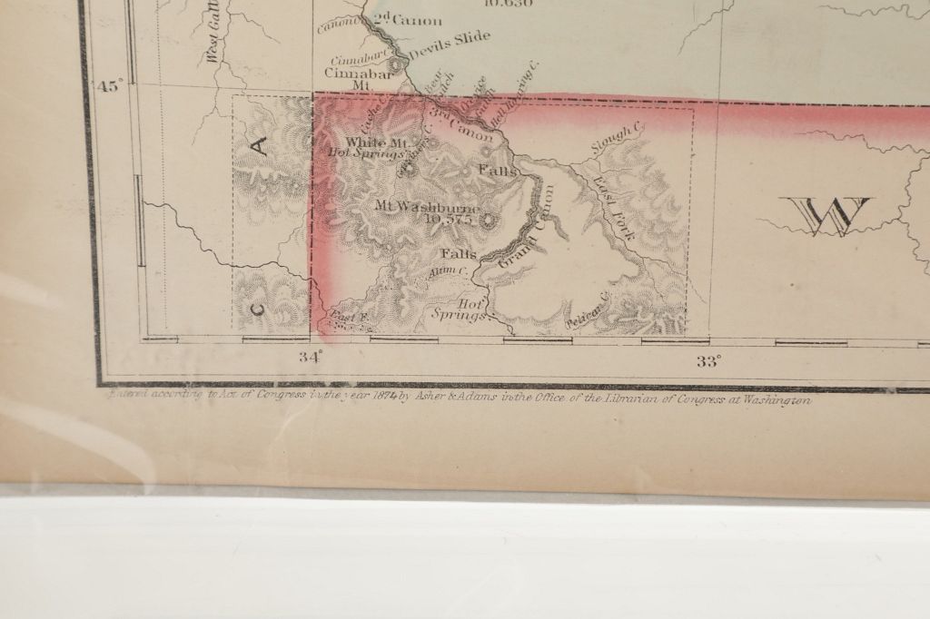
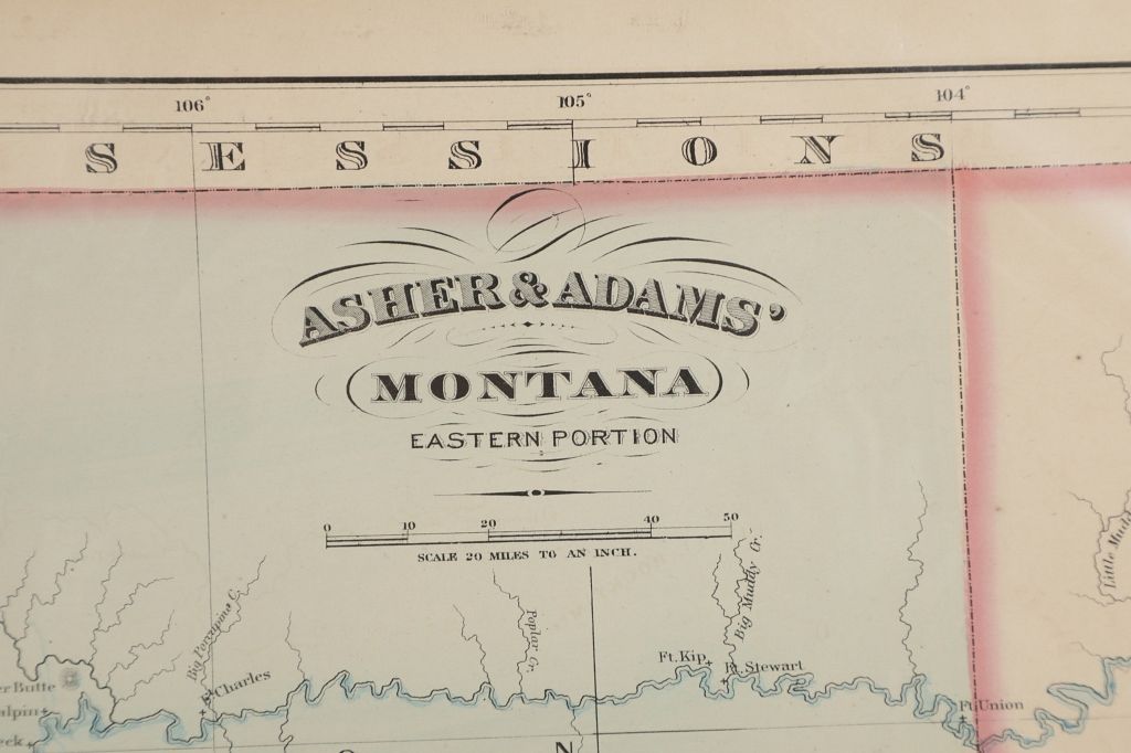
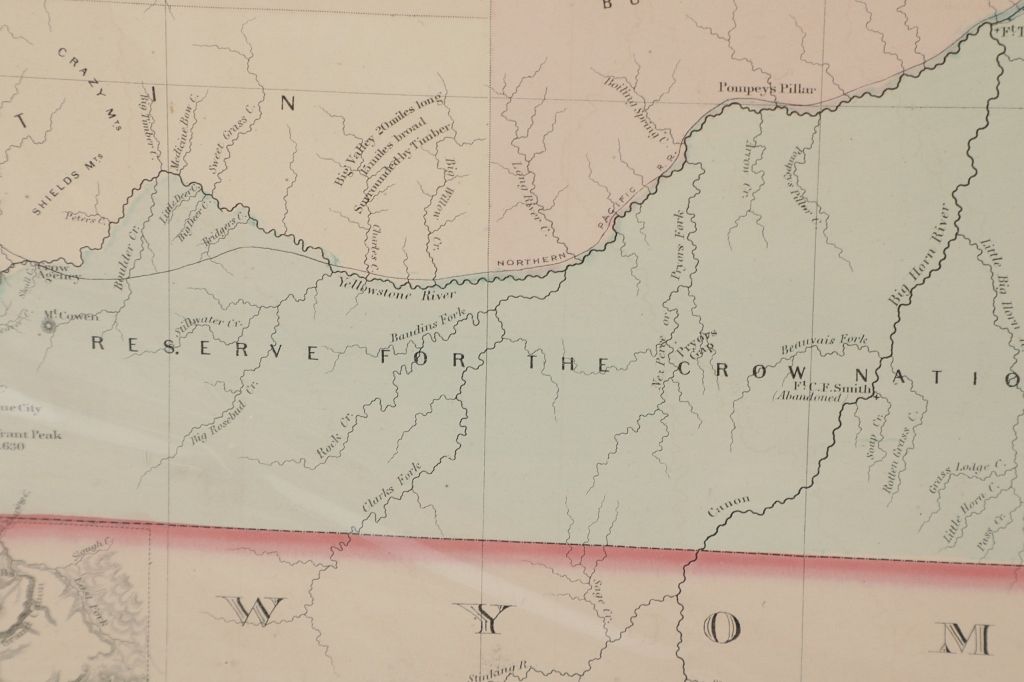
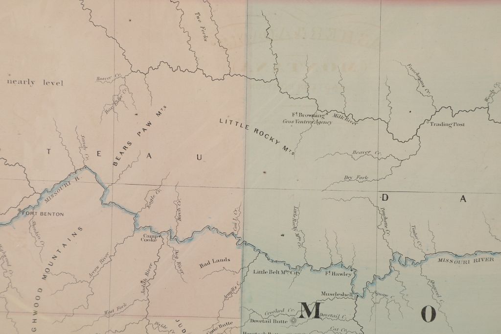
Featured in this lot is a remarkable large format, hand-colored map of the Eastern Portion of Montana Territory, extending from Bozeman, Gallatin County, Diamond City and Fort Benton in the West and covering most of the Territory. . The map illustrates the early railroads, settlements, Mining Districts, Indian Reservations, Forts and other important early features.
Asher & Adams atlas was one of the first United States atlases to exclusively feature railroad lines, showing minimal topography (in this later edition more topographical features are added, earlier editions have fewer features shown ) and only showing towns on or next to the railroads lines. This map is in very good condition and comes with a dust cover. The map measures 17 1/2" L x 24 1/4" W.