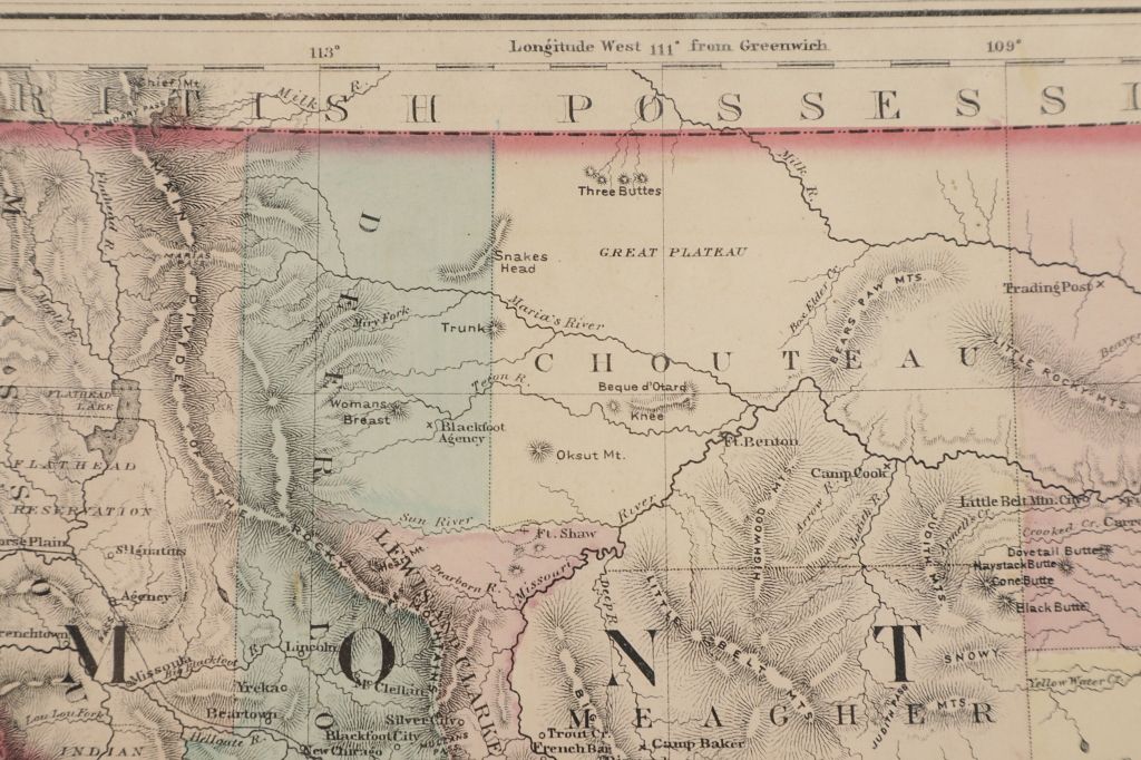
Featured in this lot is an excellent, hand-colored early map of Idaho Territory, Wyoming Territory and Montana Territory, published by O.W. Gray and drawn by Frank A. Gray. Wyoming is shown with only 7 counties. Idaho has 10 counties and Montana has only 11. Yellowstone National Park is noted as a proposed national park. Many Indian tribes are shown, along with reservations. Early railroad lines are shown, along with stations, towns, etc. Includes early forts, mountains, rivers and other details. This map is in very good condition and has a dust cover. The map measures 14 1/2" L x 17 1/4" W.