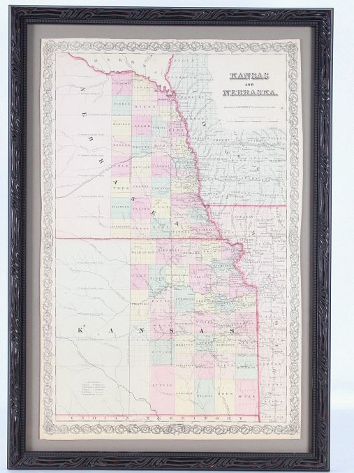
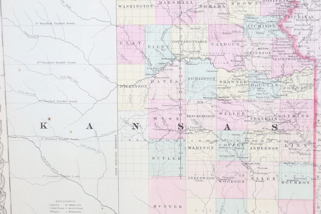
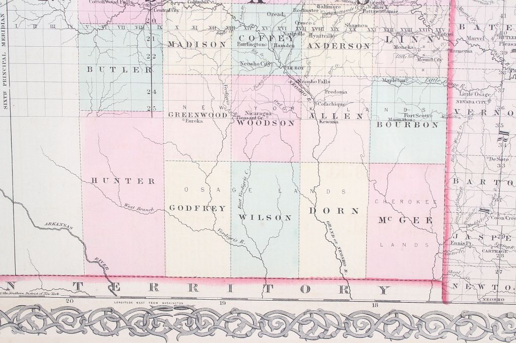
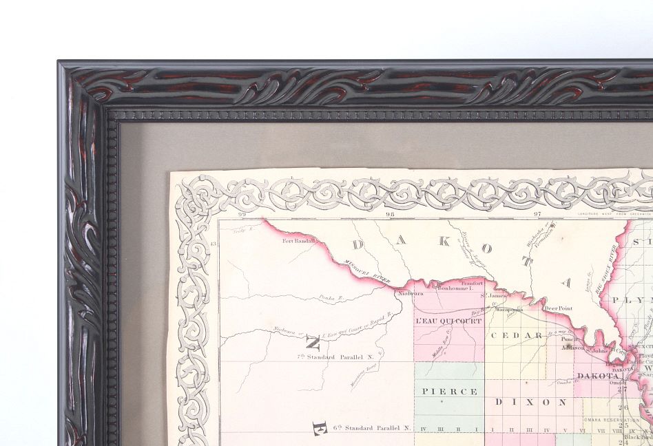
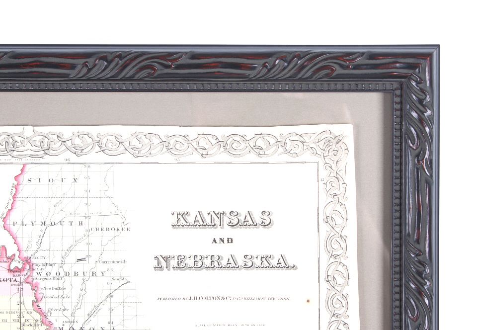
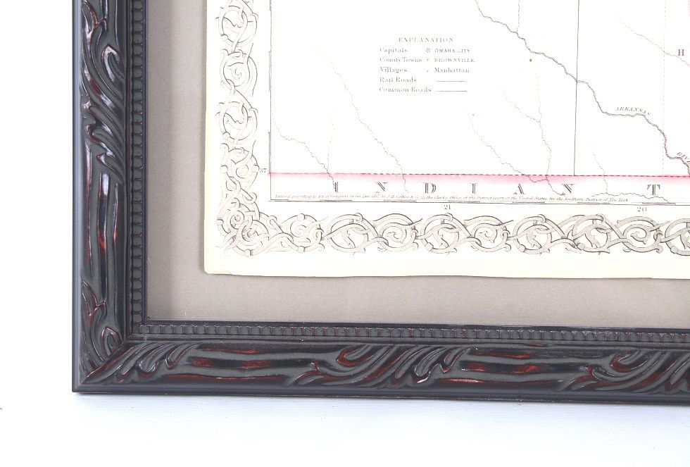
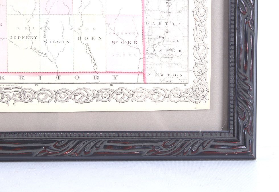
Featured in this lot is this Kansas and Nebraska framed territorial map circa 1857. The territorial map features a wonderfully and professionally crafted map that shows the state of Kansas and Nebraska with counties correctly stated and shows the state lines of both states. The fine print in the bottom left hand corner states that it was entered into the Library of Congress in 1857 and was published by J.H. Colton & Co. The condition of this Territorial Map is good with no obvious signs of damage and shows good overall condition. The measurements of this framed Territorial Map is 29 7/8" x 20 7/8" and the visible map measures 26" x 16 3/4". Provenance: From the renowned Sundog Fine Art Bozeman, Montana collection and collected by Bruce VanLandingham. Bruce VanLandingham was a pillar in the American Indian collecting community and a respected expert. Along with being an avid collector, Bruce also was the sole owner of Sundog Fine Art Gallery in Bozeman, which was both part museum and gallery.