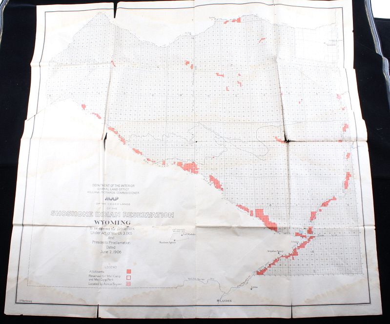
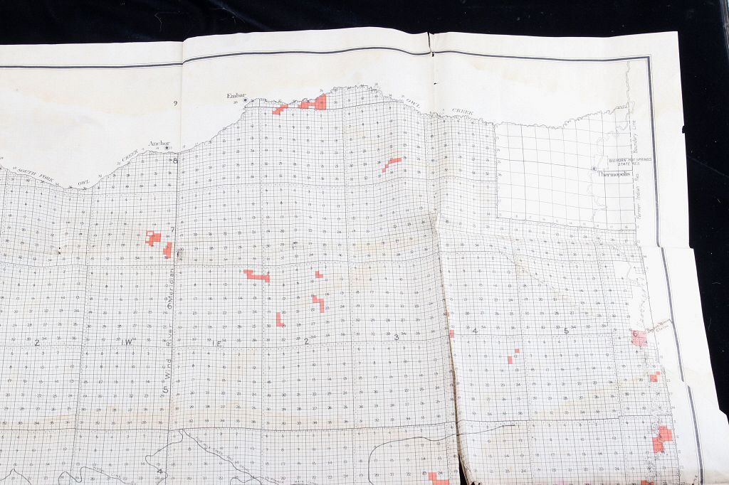
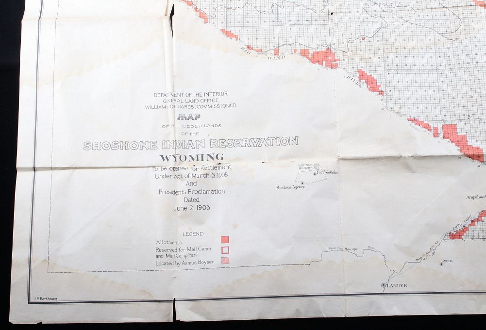
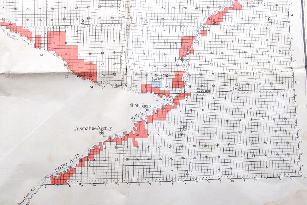
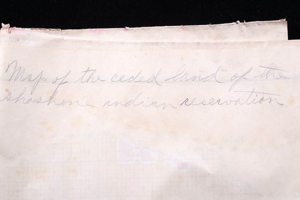
Featured in this lot is a Department of the Interior map of the ceded lands of the Shoshone Indian Reservation in Wyoming, originating from 1905. The map displays a grid design with colored allotment lots marked. The map is marked in the bottom left hand corner "Department of the Interior General Land Office William A. Richards. Commissioner. Map of the Ceded Lands of the Shoshone Indian Reservation Wyoming to be opened for settlement Under Act of March 3. 1905 And Presidents Proclamation Dated June 2. 1906". The map shows good condition overall and wear due to age. The map measures 36 1/2" wide by 35 1/2" long.